NavIC (IRNSS)
Shape built from published dimensions and pictures; details simplified.
Turn it in 3D
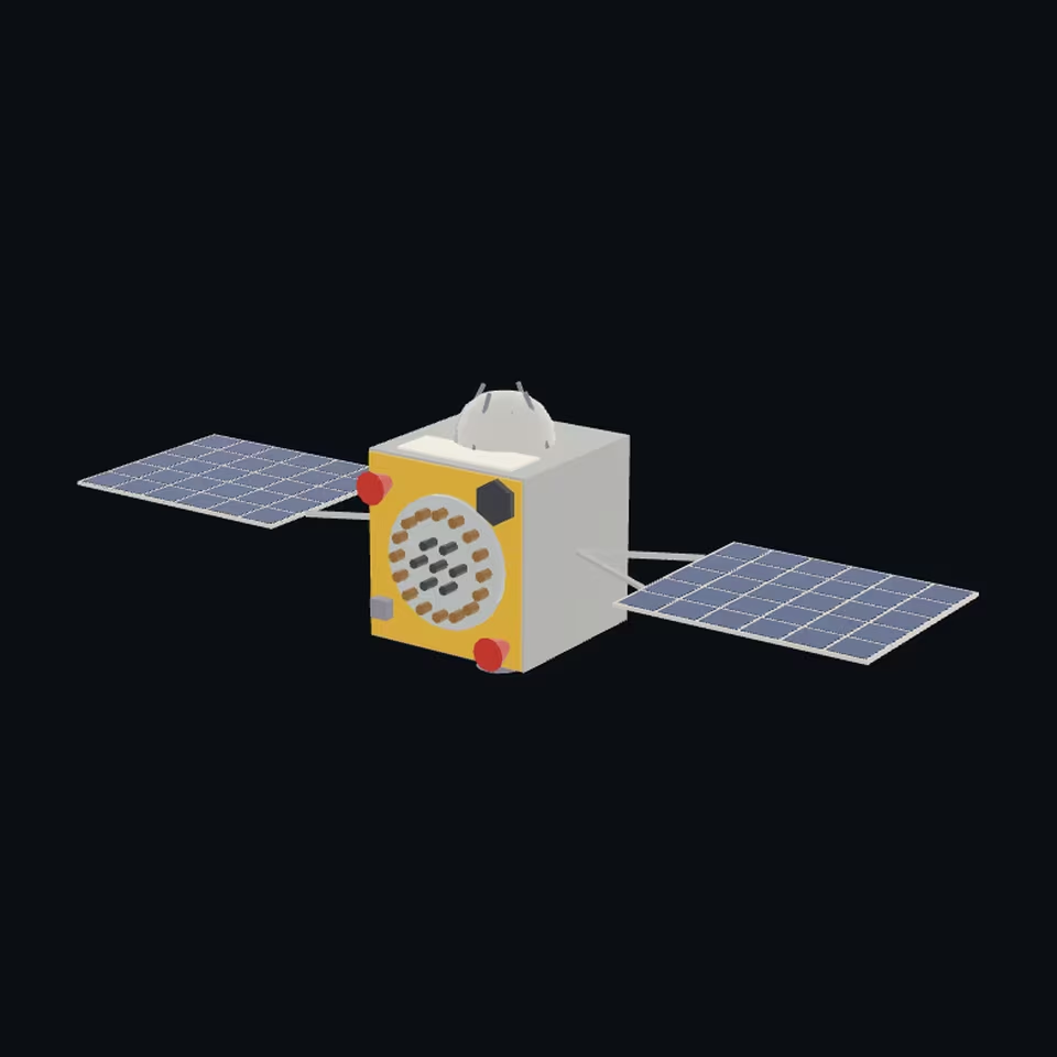
Open the 3D viewer (www.spaceradar.ai).
The viewer loads when you ask: about 700 kB the first time (three.js and the model), much less after.
Pictures 4
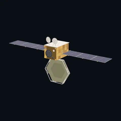
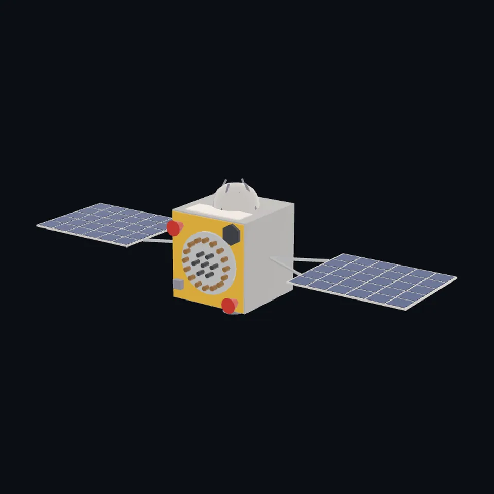 Three-quarter view
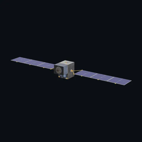
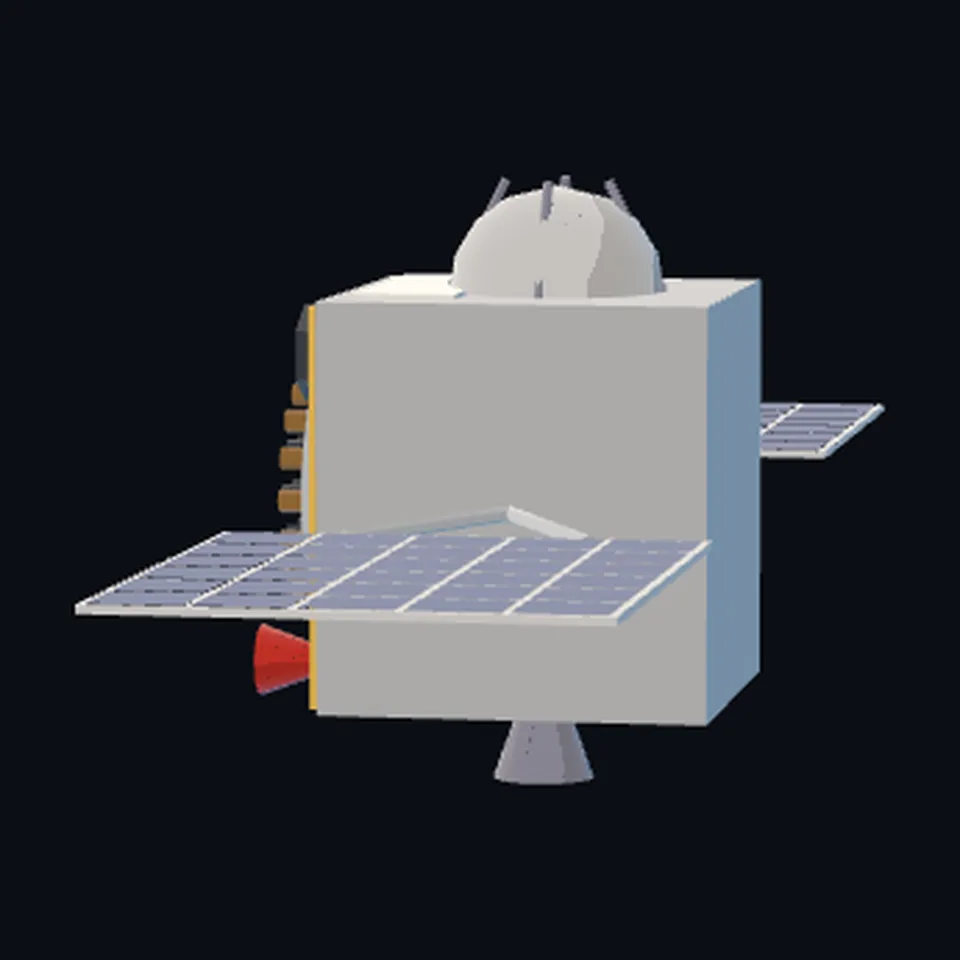 From the side
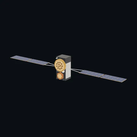
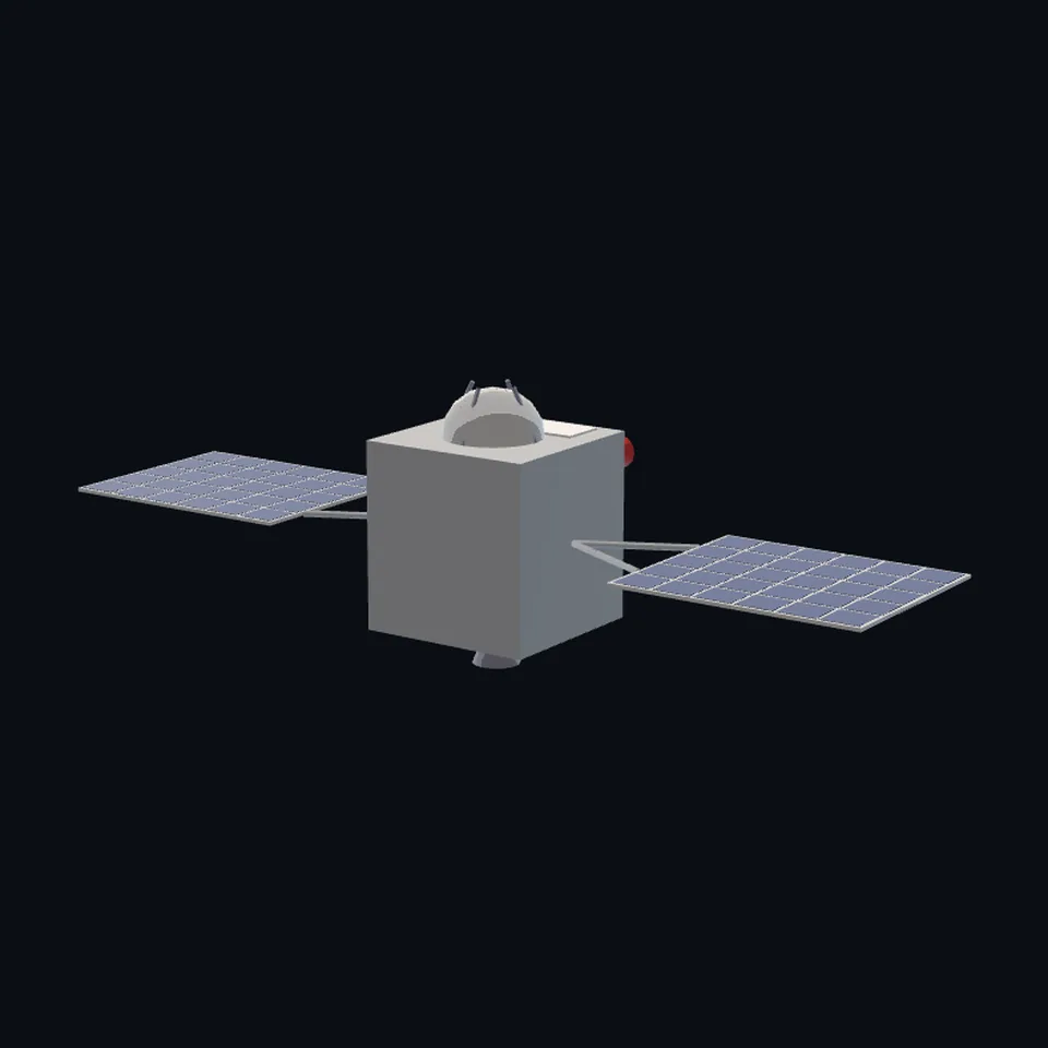 From behind
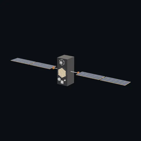
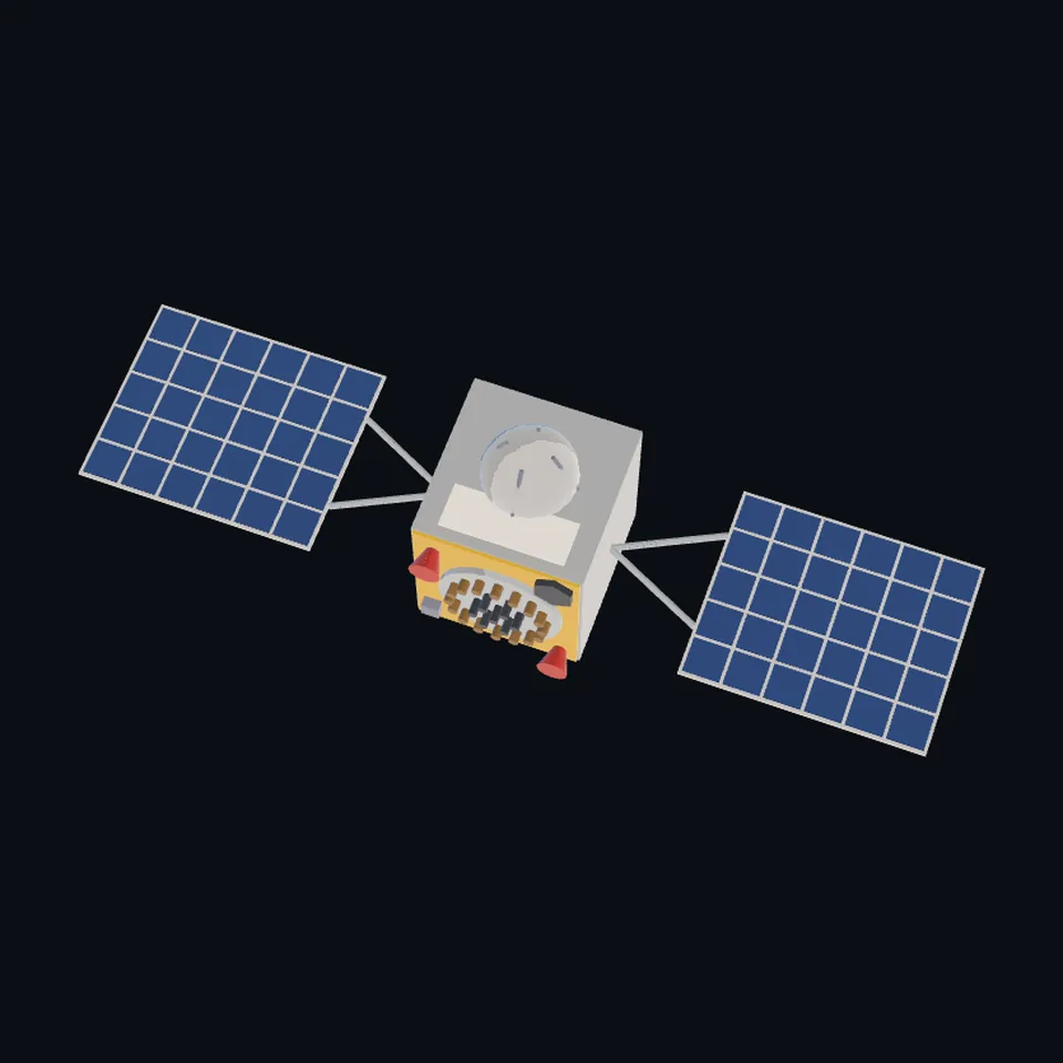 From above
About this model
NavIC (IRNSS) is one of the 203 3D models Space Radar made itself: a satellite, built in code from published dimensions and photographs, with no image-to-3D generator and no one else’s mesh.
Shape built from published dimensions and pictures; details simplified. It has 6,354 triangles in a 38 kB glTF file, and is 2.1 m across at full scale.
It is part of the map’s library; no object on the live map is drawn with it today.
Dimensions and their sources
| Measure | Value |
|---|---|
| Bus 1 | 1.58 m |
| Bus 2 | 1.5 m |
| Bus 3 | 1.5 m |
| Solar panel 1 | 2.15 m |
| Solar panel 2 | 1.8 m |
| L band array diameter | 1.1 m |
| Power | 1660 W |
ISRO, 'IRNSS-1A', isro.gov.in/IRNSS_1A.html, OPENED 2026-10-13: 'Physical Dimensions' '1.58 metre x 1.50 metre x 1.50 metre'; 'Lift-off Mass' '1425 kg'; 'Power' 'Two solar panels generating 1660 W, one lithium-ion battery of 90 Ampere-Hour capacity'; 'Propulsion' '440 Newton Liquid Apogee Mo[tor]'; 'The ranging payload of IRNSS-1A consists of a C-band transponder'; 'IRNSS-1A also carries Corner Cube Retro Reflectors for laser ranging'. eoPortal, eoportal.org/satellite-missions/irnss, OPENED 2026-10-13: 'Spacecraft size (launch configuration)' '1.58 m x 1.5 m x 1.5 m'; 'The IRNSS satellites are configured around the spacecraft bus I-1K'; 'Attitude control of the satellite is provided with yaw steering, a capability to optimize the use of the solar panels'. URSC (ISRO Satellite Centre), 'Salient features of IRNSS-1A', ursc.gov.in/navigation/html/irnss-1a.jsp, OPENED 2026-11-04: 'each array with one panels of size 2.15 m x 1.8 m populated with multi-junction solar cells' (a two-sided array: one panel each side), 'Dual Helix Array Antenna (dia. 1.1m) in L5 and S bands', 'Corner Cube Retro Reflector for Laser Ranging', a cuboid of 1450 mm x 1450 mm x 1576 mm. NO PAGE OPENED GIVES THE ARM BETWEEN THE BODY AND THE PANEL OR THE SPAN (ISRO's PSLV-C22 brochure was not found online): OURS: a 0.9 m arm, which makes each wing 3.8 m from the body face and the craft 7.6 m tip to tip; the panels are now the cited 2.15 x 1.8 m, where the first build had an estimate of 1.9 x 1.75 m. READ OFF ISRO'S DRAWING: the round antenna plate on the Earth face with its ring of elements round a middle cluster (the count, sixteen and seven, is ours), the two red horns beside it, the six-sided reflector plate at a corner, the dome on one side face and the nozzle on the opposite one, the yellow blanket. (read 2026-11-04)
How it was made
Built in code from published dimensions and photographs, with no image-to-3D generator and no one else’s mesh. 3D model: built by Space Radar from ISRO's published dimensions and drawing of the IRNSS-1 series (ISRO, GODL-India).
The full record
built by this project in code (the private tool model-from-images: assemble.py, from a yaml of primitives), from the cited dimensions and the pictures under `references`; no image-to-3D model was used, and no published mesh (NASA's 3D Resources on GitHub, 1 583 paths read 2026-10-13, has none of this craft; the survey of 2026-10-13 found no agency model of it under usable terms)
Where the map uses it. any record of klass satellite named IRNSS-1A to IRNSS-1I (7 records in the live saved data of 2026-10-12; wings from internal #751): the first generation of India's NavIC on the I-1K bus. They were, and while this file is on its way still are, the family navigation box at Galileo's size. NVS-01 (IRNSS-1J), the second generation on a larger bus, keeps that box; public #990
Licence note. GODL-India (ISRO's drawing it was drawn from: Government Open Data License - India, free to use with attribution); the shape is this project's, under this repository's licence. NO LOGO AND NO LETTERING is on the mesh.
References 1
What the shape was compared with. None of these pictures is in the file.
- IRNSS Series 1Indian Space Research Organisation (ISRO)GODL-India (Government Open Data License - India; Indian Space Research Organisation, isro.gov.in)

Use it
The model is under the MIT licence: use it, change it and share it, in any project, also a paid one. Keep the credit:
NavIC (IRNSS) 3D model by Space Radar (spaceradar.ai), MIT LicenseAny glTF 2.0 loader that reads meshopt compression (EXT_meshopt_compression) opens the file: three.js with its MeshoptDecoder, Babylon.js, model-viewer. Tools such as glTF-Transform can write an uncompressed copy.
Or embed the viewer in your page:
<iframe src="https://www.spaceradar.ai/model/?id=irnss" title="NavIC (IRNSS), 3D model by Space Radar" width="600" height="450" loading="lazy" style="border:0;max-width:100%"></iframe>Related models