GPS Block IIR
Shape built from published dimensions and pictures; details simplified.
Turn it in 3D
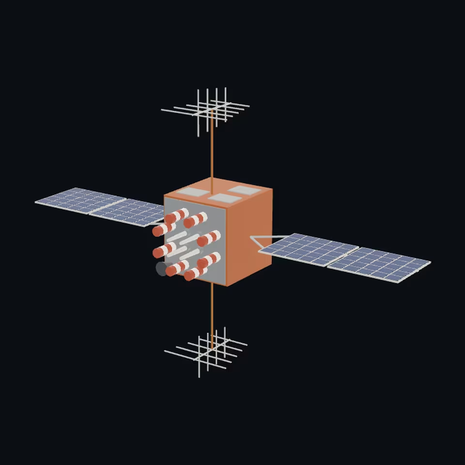
Open the 3D viewer (www.spaceradar.ai).
The viewer loads when you ask: about 700 kB the first time (three.js and the model), much less after.
Pictures 4
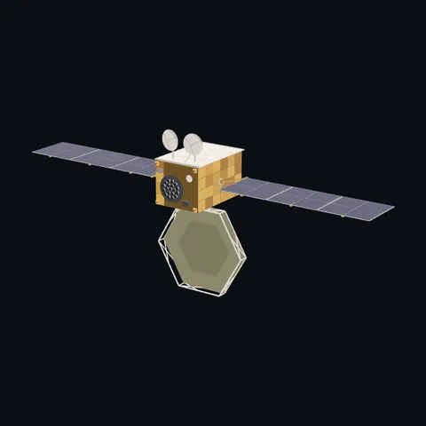
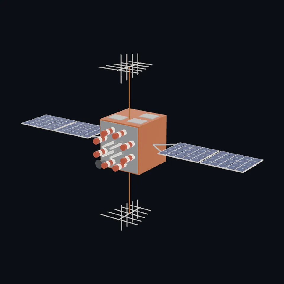 Three-quarter view
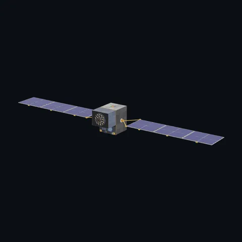
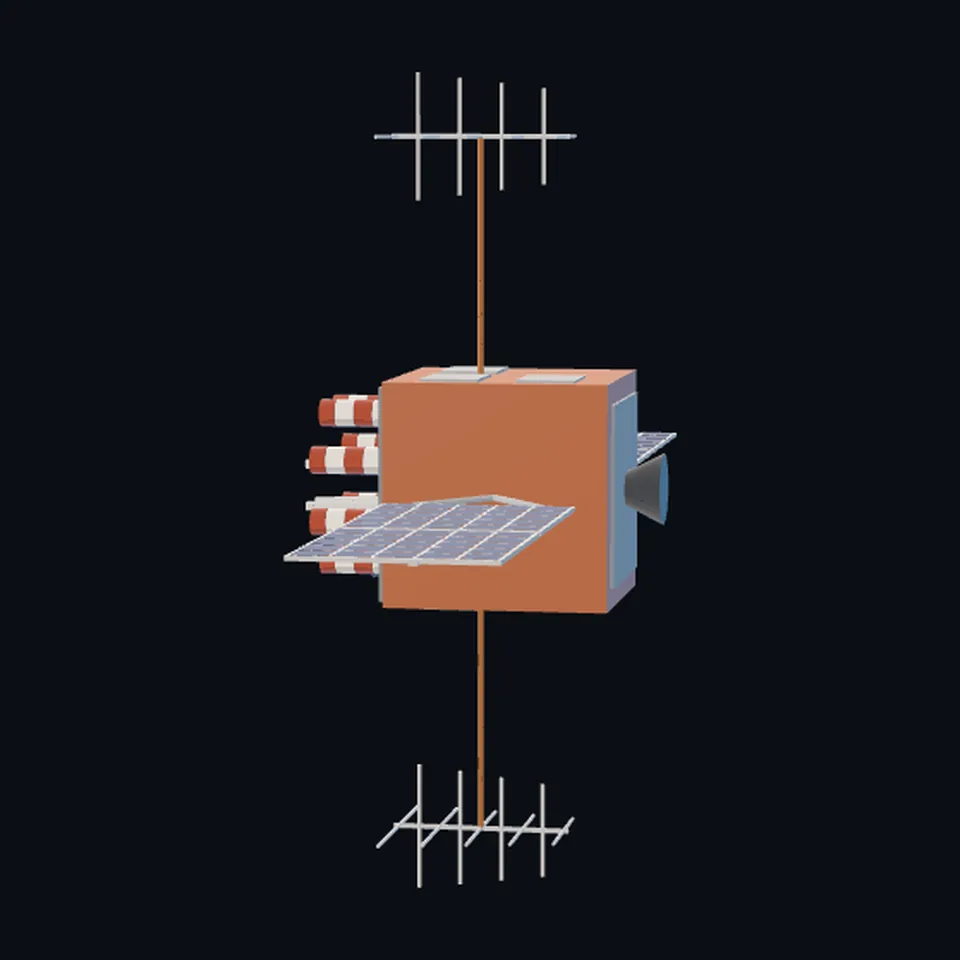 From the side
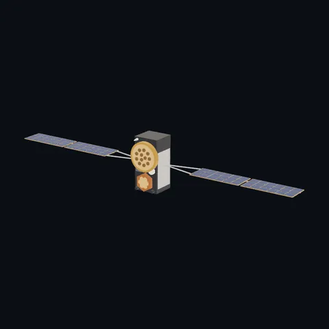
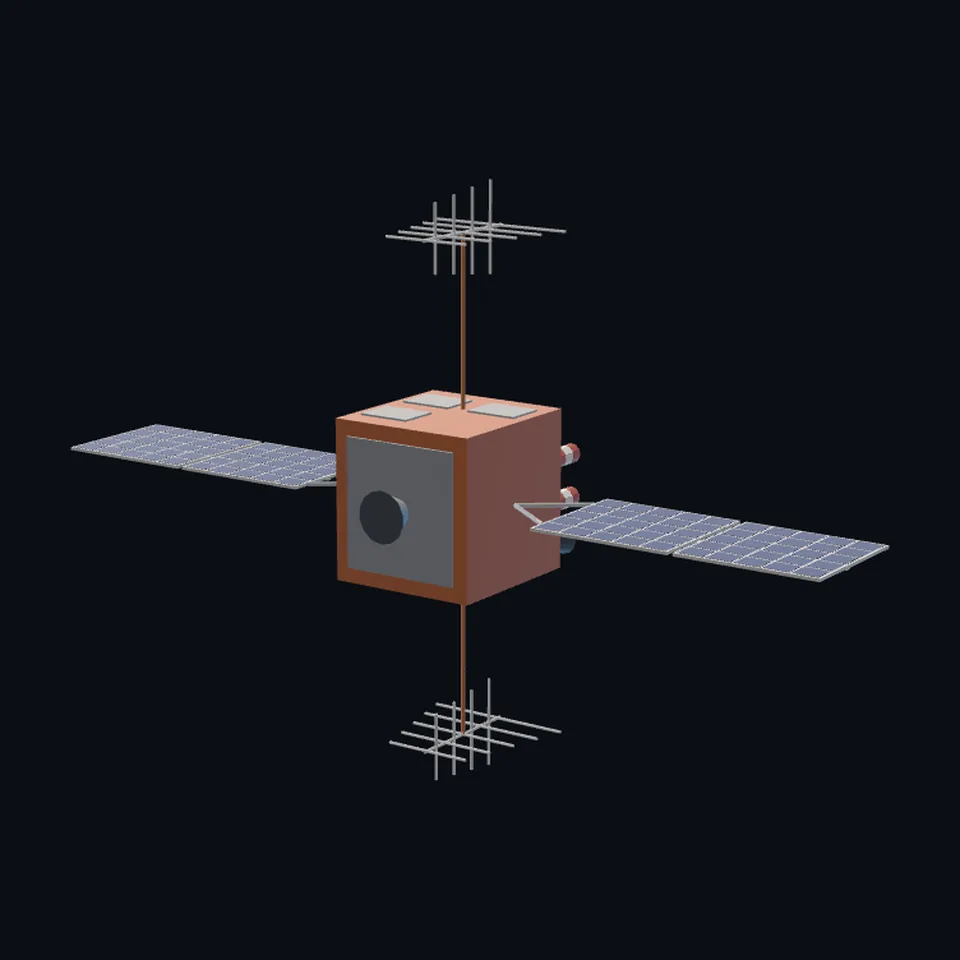 From behind
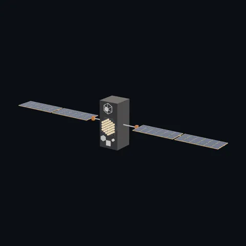
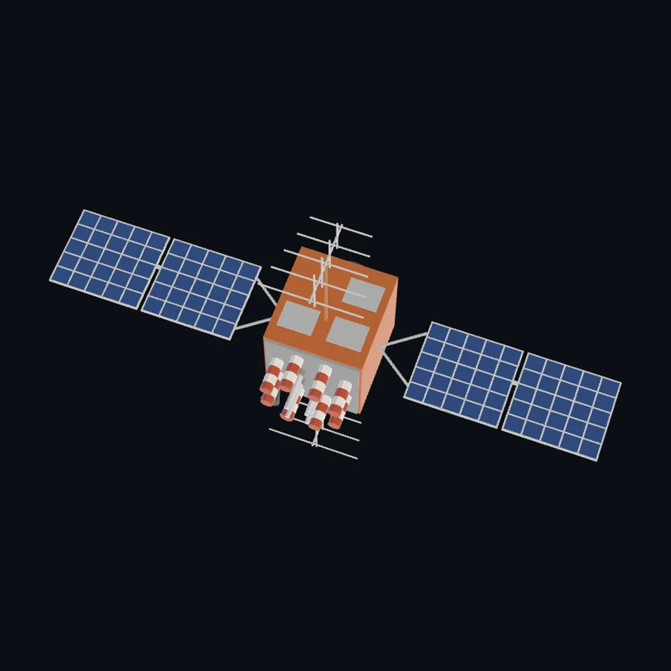 From above
About this model
GPS Block IIR is one of the 203 3D models Space Radar made itself: a satellite, built in code from published dimensions and photographs, with no image-to-3D generator and no one else’s mesh.
Shape built from published dimensions and pictures; details simplified. It has 8,768 triangles in a 54 kB glTF file, and is 11 m across at full scale.
It is part of the map’s library; no object on the live map is drawn with it today.
Dimensions and their sources
| Measure | Value |
|---|---|
| Bus 1 | 2.1 m |
| Bus 2 | 2 m |
| Bus 3 | 2.1 m |
| Span | 11.4 m |
eoPortal, eoportal.org/satellite-missions/gps, OPENED 2026-10-13, 'Table 1: GPS Block specifications', columns Block IIR and Block IIR-M (the same numbers in both): 'Dimensions (m)' '2.1 x 2.0 x 2.1'; 'Span including solar arrays (m)' '11.4'; 'Primary Contractors' 'Lockheed Martin'; its text: 'they were based on the commercial AS-4000 bus'; 'UHF channel is used for cross-links between spacecraft'. Air & Space Forces Magazine, airandspaceforces.com/weapons-platforms/gps, OPENED 2026-10-13: '(IIR/IIR-M) 5 x 6.3 x 6.25 ft, span incl solar panels 38 ft' (38 ft is 11.6 m: the span agrees within 0.2 m; its body is 1.5 x 1.9 x 1.9 m, smaller than eoPortal's, and eoPortal's is built). Lockheed Martin, 'GPS Block IIR and IIR-M Antenna Panel Pattern' (W. Marquis, 2014; published by the US Coast Guard Navigation Center, navcen.uscg.gov/sites/default/files/pdf/gps/GPS_Block_IIR_IIR_M_…, OPENED 2026-10-13), slide 6, 'GPS Block IIR Legacy Antenna': 'Used on first 8 of 12 IIR SVs'; '8 helix elements in circle with 4 elements in the center'; '12-way power divider and beam forming network'; slide 7, 'GPS Block IIR Improved Antenna': 'Used on final 4 of 12 IIR SVs, and all 8 IIR-M SVs'; 'New element designs and configurations on the panel'. The Navigation Center's page, navcen.uscg.gov/node/599, OPENED 2026-10-13: 'This is the Earth-facing panel providing the GPS L-band broadcast signal. The improved antenna panel includes redesigned L-band elements mounted on the SV Earth-facing structure in the same manner as the original legacy antenna panel.' THE FILE DRAWS THE LEGACY PANEL (eight round a middle four) for all twenty; the improved panel's own layout is in Lockheed's photograph, which is theirs and was not copied. NOT CITED, read off the government's painting: two panels a wing, the wing's width (1.75 m) and its yoke, the orange foil and the grey radiator windows, that the eight outer helices are fat and the four inner ones slender, the dark horn at the deck's corner, and the two lattice antennas on booms across the wing axis (TAKEN TO BE the UHF crosslink antennas: no page opened names them), whose size is the painting's. (read 2026-10-13)
How it was made
Built in code from published dimensions and photographs, with no image-to-3D generator and no one else’s mesh. 3D model: built by Space Radar from published dimensions and a US government painting of a GPS Block IIR satellite.
The full record
built by this project in code (the private tool model-from-images: assemble.py, from a yaml of primitives), from the cited dimensions and the pictures under `references`; no image-to-3D model was used, and no published mesh (NASA's 3D Resources on GitHub, 1 583 paths read 2026-10-13, has none of this craft; the survey of 2026-10-13 found no agency model of it under usable terms)
Where the map uses it. any record of klass satellite named NAVSTAR and launched 1998 to 2009, and NAVSTAR 43 of 1997 (18 records in the live saved data of 2026-10-12): the GPS Block IIR and IIR-M craft, Lockheed Martin's bus. They had no shape of their own and were, and while this file is on its way still are, the family navigation box (scene/models.js `navigation`, Galileo's proportions); public #985
Licence note. Public domain (the US government picture it was drawn from); the shape is this project's, under this repository's licence. NO LOGO AND NO LETTERING is on the mesh.
References 1
What the shape was compared with. None of these pictures is in the file.
- GPS-IIRUS Government (gps.gov)Public domain (US Government; US National Executive Committee for Space-Based Positioning, Navigation and Timing, gps.gov)

Use it
The model is under the MIT licence: use it, change it and share it, in any project, also a paid one. Keep the credit:
GPS Block IIR 3D model by Space Radar (spaceradar.ai), MIT LicenseAny glTF 2.0 loader that reads meshopt compression (EXT_meshopt_compression) opens the file: three.js with its MeshoptDecoder, Babylon.js, model-viewer. Tools such as glTF-Transform can write an uncompressed copy.
Or embed the viewer in your page:
<iframe src="https://www.spaceradar.ai/model/?id=gps-iir" title="GPS Block IIR, 3D model by Space Radar" width="600" height="450" loading="lazy" style="border:0;max-width:100%"></iframe>Related models