GPS III
Shape built from published dimensions and pictures; details simplified.
Turn it in 3D
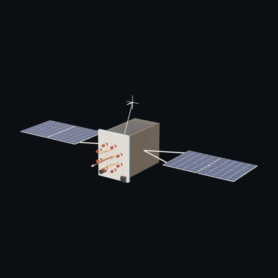
Open the 3D viewer (www.spaceradar.ai).
The viewer loads when you ask: about 700 kB the first time (three.js and the model), much less after.
Pictures 4
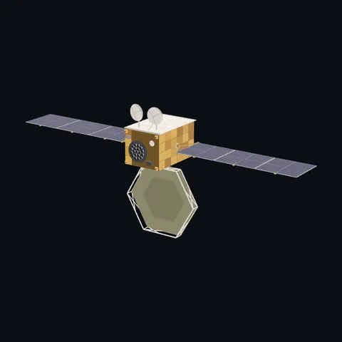
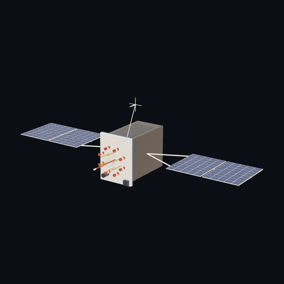 Three-quarter view
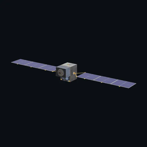
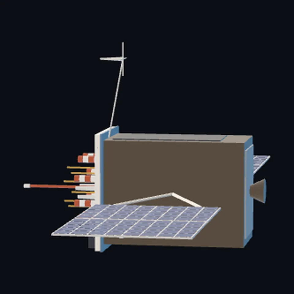 From the side
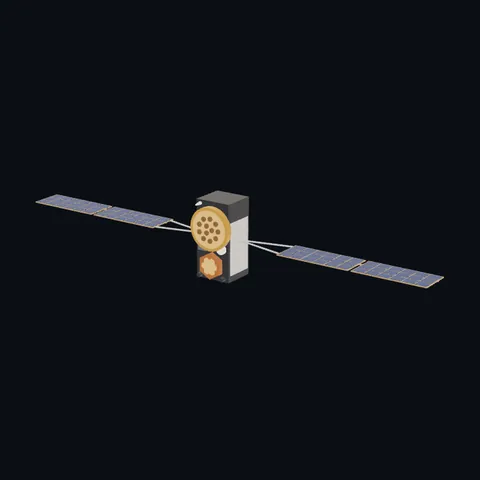
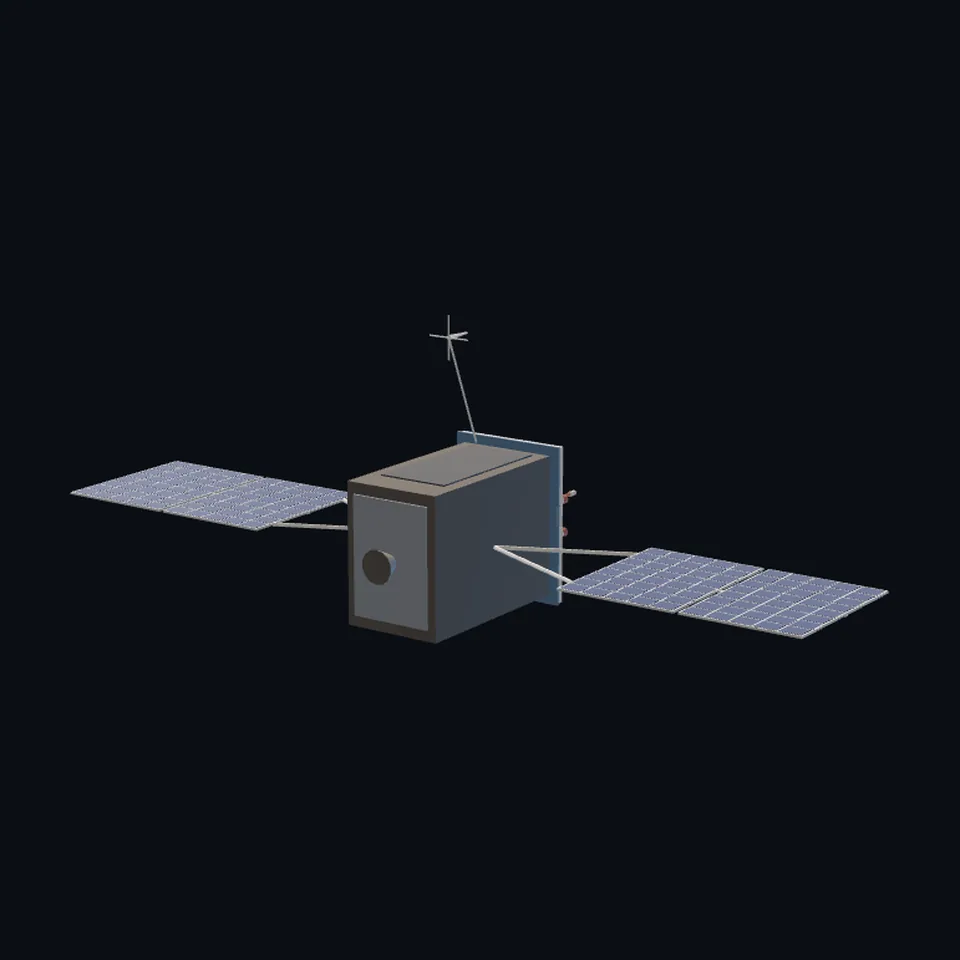 From behind
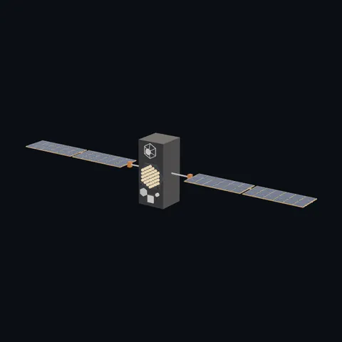
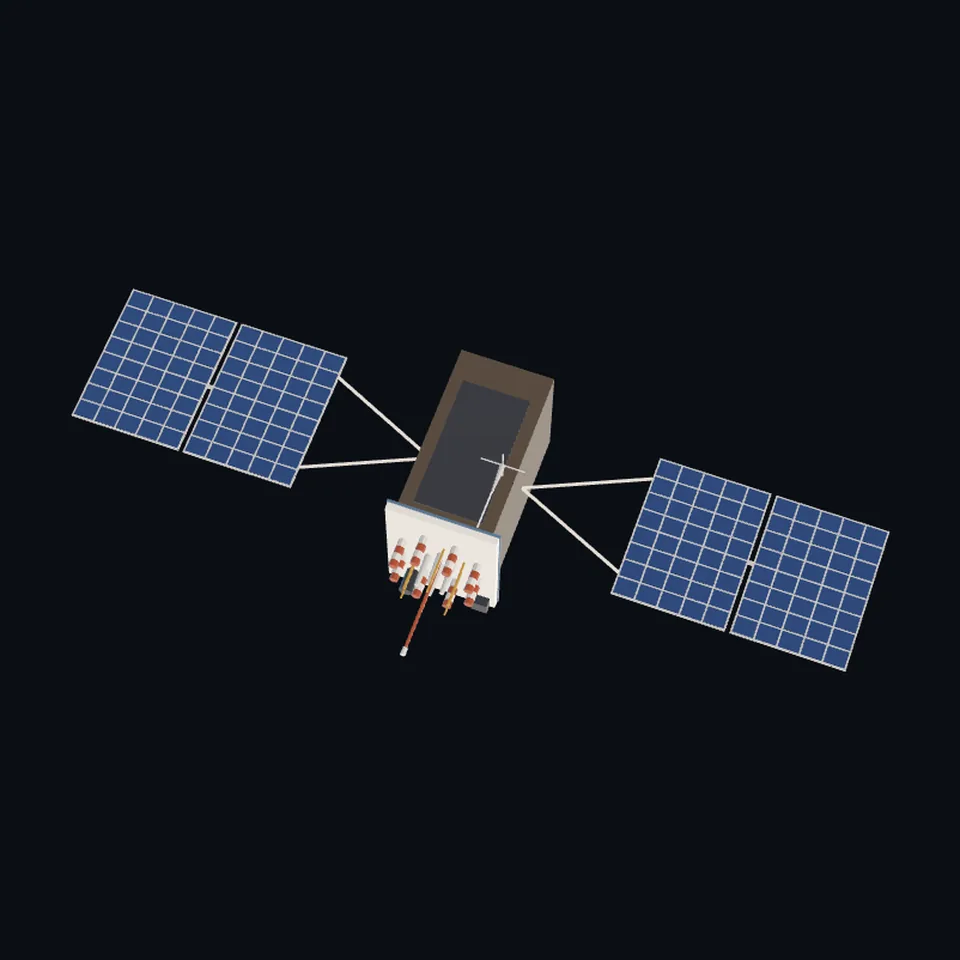 From above
About this model
GPS III is one of the 203 3D models Space Radar made itself: a satellite, built in code from published dimensions and photographs, with no image-to-3D generator and no one else’s mesh.
Shape built from published dimensions and pictures; details simplified. It has 12,606 triangles in a 65 kB glTF file, and is 15 m across at full scale.
It is part of the map’s library; no object on the live map is drawn with it today.
Dimensions and their sources
| Measure | Value |
|---|---|
| Bus 1 | 1.8 m |
| Bus 2 | 2.5 m |
| Bus 3 | 3.4 m |
| Span | 15 m |
eoPortal, eoportal.org/satellite-missions/gps, OPENED 2026-10-13, 'Table 1: GPS Block specifications', column GPS III/IIIF: 'Dimensions (m)' '1.8 x 2.5 x 3.4'; 'Span including solar arrays (m)' '15'; 'Primary Contractors' 'Lockheed Martin'; its text: 'December 23, 2018: The first GPS Block III satellite, SV01 nicknamed Vespucci, launched'; 'Unlike the GPS IIF satellite, the GPS III satellites feature an apogee propulsion system'; 'the UHF Crosslink and Tracking Telemetry & Command (TT&C) subs[ystems]'. THE US SPACE FORCE'S OWN FACT SHEET WAS NOT OPENED (losangeles.spaceforce.mil answers 403, tried 2026-10-13); a search engine's extract of it gives '97 inches wide, 70 inches deep, and 134 inches high', which is 2.46 x 1.78 x 3.40 m and agrees with eoPortal's table. ESA (Dilssner and others, IGS Workshop 2012, files.igs.org/pub/resource/pubs/workshop/2012/Poland%202012%20-%…, OPENED 2026-10-13): '12 element helix design common to all GPS and GLONASS antenna types' (said of the blocks before GPS III). NO PAGE OPENED GIVES GPS III'S ANTENNA LAYOUT IN WORDS OR NUMBERS: the deck is read off the Air Force's render: a pale deck wider than the body, a ring of banded helices round a middle group, thin gold rods among them, one long mast at the middle, a dark canister, and a thin boom from the deck's corner with a small antenna at its end. ALSO READ OFF THE RENDER: two panels a wing, each wing about 4.4 x 2.9 m on a forked yoke 2.2 m long (the span is cited, the split is not); the body's dark sides and the pale radiator on one narrow side. OURS: that the wings stand on the 2.5 m faces. (read 2026-10-13)
How it was made
Built in code from published dimensions and photographs, with no image-to-3D generator and no one else’s mesh. 3D model: built by Space Radar from published dimensions and a US Air Force render of a GPS III satellite.
The full record
built by this project in code (the private tool model-from-images: assemble.py, from a yaml of primitives), from the cited dimensions and the pictures under `references`; no image-to-3D model was used, and no published mesh (NASA's 3D Resources on GitHub, 1 583 paths read 2026-10-13, has none of this craft; the survey of 2026-10-13 found no agency model of it under usable terms)
Where the map uses it. any record of klass satellite named NAVSTAR and launched from 2018 (10 records in the live saved data of 2026-10-12): the GPS III craft, Lockheed Martin's. They were, and while this file is on its way still are, the build `navigation-gps-iii`, a tall box with a ring of twelve horns and wings of four panels to a 14 m span; public #985
Licence note. Public domain (the US Air Force picture it was drawn from); the shape is this project's, under this repository's licence. NO LOGO AND NO LETTERING is on the mesh.
References 1
What the shape was compared with. None of these pictures is in the file.
- GPS Block IIIAUS Air ForcePublic domain (U.S. Air Force; a work of the US federal government, from losangeles.af.mil)

Use it
The model is under the MIT licence: use it, change it and share it, in any project, also a paid one. Keep the credit:
GPS III 3D model by Space Radar (spaceradar.ai), MIT LicenseAny glTF 2.0 loader that reads meshopt compression (EXT_meshopt_compression) opens the file: three.js with its MeshoptDecoder, Babylon.js, model-viewer. Tools such as glTF-Transform can write an uncompressed copy.
Or embed the viewer in your page:
<iframe src="https://www.spaceradar.ai/model/?id=gps-iii" title="GPS III, 3D model by Space Radar" width="600" height="450" loading="lazy" style="border:0;max-width:100%"></iframe>Related models