
NOAA-21
Shape built from published dimensions and pictures; details simplified.
Turn it in 3D
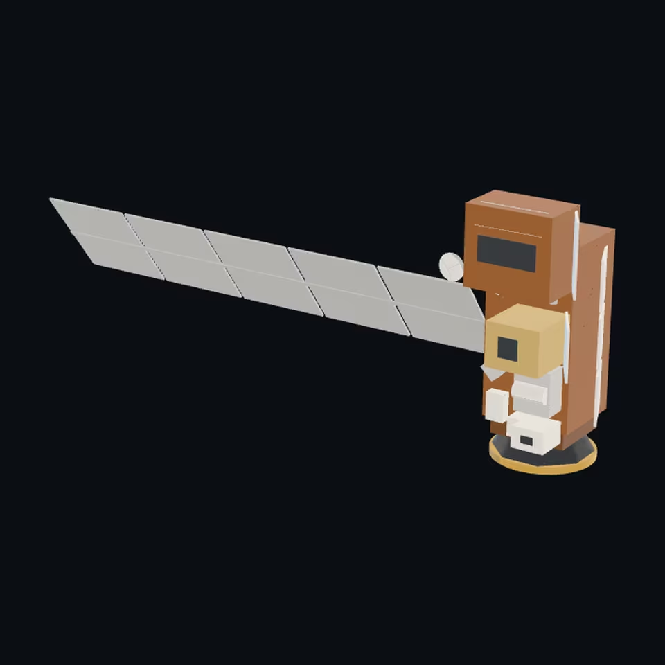
Open the 3D viewer (www.spaceradar.ai).
The viewer loads when you ask: about 700 kB the first time (three.js and the model), much less after.
Pictures 4
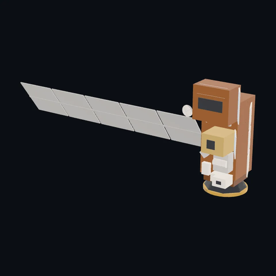 Three-quarter view
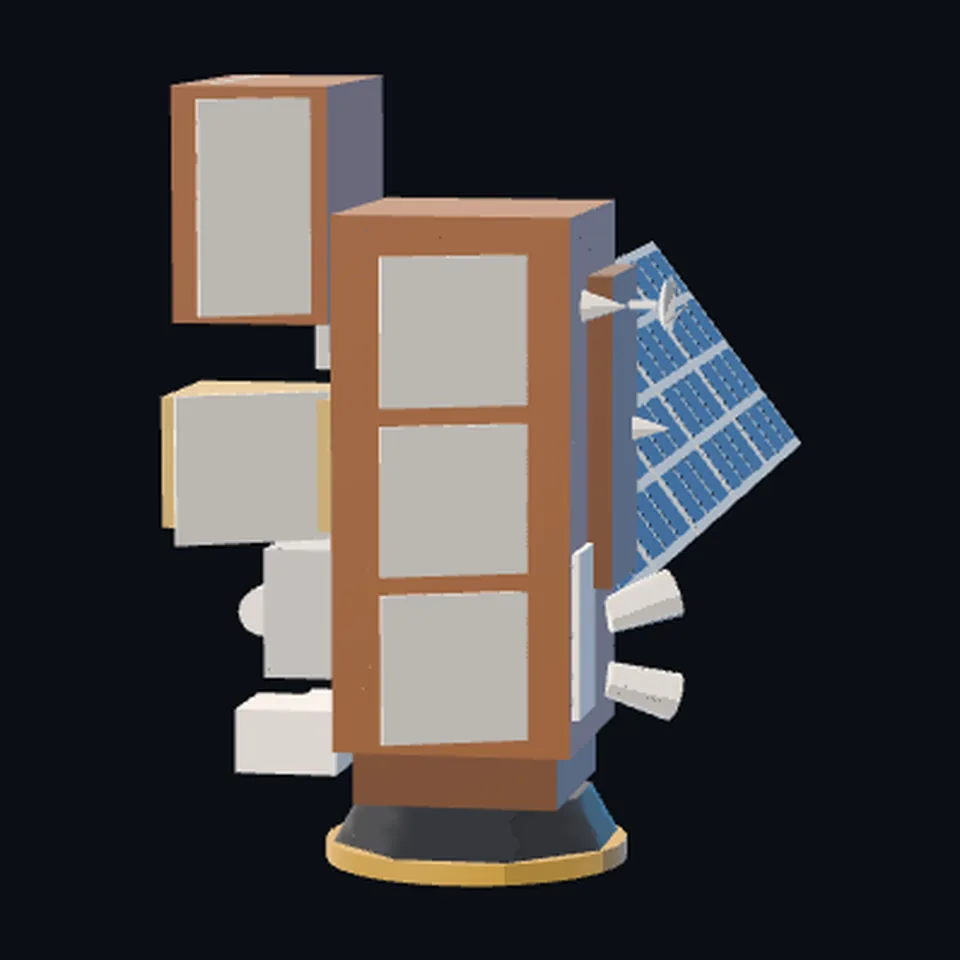 From the side
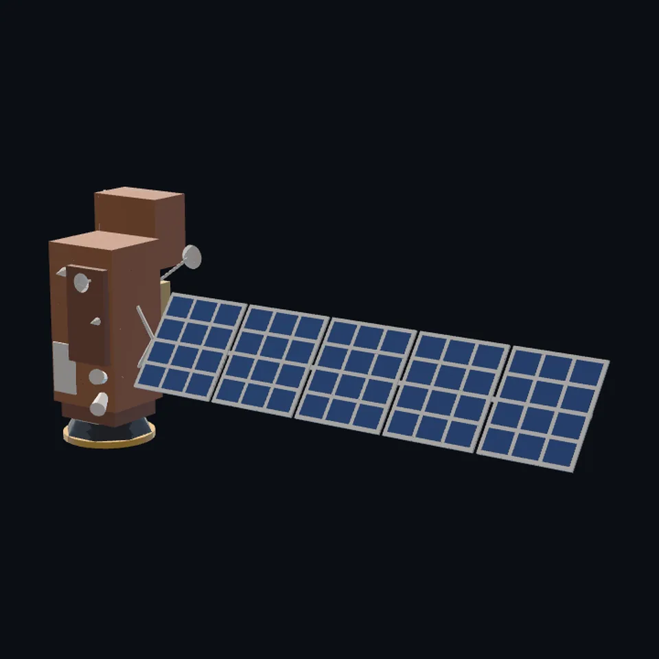 From behind
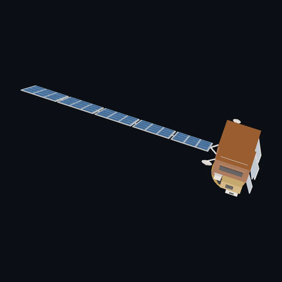 From above
About this model
NOAA-21 is one of the 203 3D models Space Radar made itself: a satellite, built in code from published dimensions and photographs, with no image-to-3D generator and no one else’s mesh.
Shape built from published dimensions and pictures; details simplified. It has 8,716 triangles in a 51 kB glTF file, and is 11 m across at full scale.
On Space Radar’s live map it is drawn for 2 catalogued objects, each where its published orbit puts it now. Open it on the map.
Dimensions and their sources
| Measure | Value |
|---|---|
| Body length | 4.27 m |
| Body width | 2.13 m |
| Length with array | 10.67 m |
| Viirs | 1.41 m |
| Cris | 0.94 m |
| Atms | 0.7 m |
| Omps | 0.56 m |
NOAA NESDIS, 'JPSS satellite and instruments', nesdis.noaa.gov/our-satellites/currently-flying/joint-polar-sate…, OPENED 2026-10-13 (the first file took the same sentence from a search result; the numbers are the same): 'NOAA-21 is about the size of a large pickup truck, at 14 feet by 7 feet, and it weighs 5,750 pounds. Its length stretches to 35 feet when its solar array is deployed.' The instruments, NOAA's paper model, nesdis.noaa.gov/s3/2022-09/JPSS%20Paper%20Model-071922.pdf, opened 2026-10-13: 'JPSS-2 carries four instruments that collect information: the Advanced Technology Microwave Sounder (ATMS), the Cross-track Infrared Sounder (CrIS), the Visible Infrared Imaging Radiometer Suite (VIIRS), and the Ozone Mapping and Profiler Suite (OMPS).' (no CERES: eoPortal's JPSS payload table lists it for JPSS-1 only). Their sizes, eoportal.org/satellite-missions/suomi-npp and eoportal.org/satellite-missions/jpss, opened 2026-10-13: VIIRS 'a size of 134 cm x 141 cm x 85 cm'; CrIS 'Instrument size 71 cm x 88 cm x 94 cm'; 'ATMS instrument dimensions 70 cm x 60 cm x 40 cm'; OMPS 'a size of 0.35 m x 0.54 m x 0.56 m'. Five panels: eoPortal, 'a deployable five-panel solar array capable of generating 4450 W'. NOT CITED, measured on NOAA's drawing scaled by the cited 4.27 m: the deck's 1.45 m width, the bus's 1.3 m height (with VIIRS's 0.85 m below the deck that is the cited 7 ft), the wing's 8.5 x 1.85 m, the radiators, where each instrument sits, and everything on the side away from the Earth (read 2026-10-13)
How it was made
Built in code from published dimensions and photographs, with no image-to-3D generator and no one else’s mesh. 3D model: built by Space Radar from published dimensions and NOAA's drawings and render of NOAA-21.
The full record
built by this project in code (the private tool model-from-images: assemble.py, from a yaml of primitives), from the cited dimensions and the pictures under `references`; no image-to-3D model was used, and no published mesh
Where the map uses it. NORAD 54234 (NOAA 21 (JPSS-2)), on the layer of satellites worth knowing: NOAA's newest polar weather satellite. It had no route and was drawn as the generic satellite; public #994. NOAA 20 (43013) does not wear it. REBUILT on 2026-10-13: the first file of that day was a body generated from NOAA's render (kind derived-from-images), lumpy and with no instrument on it; this one is built from dimensions alone
Licence note. Public domain (NOAA's render and NOAA's two drawings it was drawn from, works of the United States government); the shape is this project's, under this repository's licence
References 3
What the shape was compared with. None of these pictures is in the file.
- JPSS-2 BlueprintsNOAAPublic domain (NOAA NESDIS, a work of the United States government)
- NOAA-21 schematic diagramNOAAPublic domain (NOAA NESDIS, a work of the United States government)
- Artist's rendering of NOAA-21NOAAPublic domain (NOAA)


Use it
The model is under the MIT licence: use it, change it and share it, in any project, also a paid one. Keep the credit:
NOAA-21 3D model by Space Radar (spaceradar.ai), MIT LicenseAny glTF 2.0 loader that reads meshopt compression (EXT_meshopt_compression) opens the file: three.js with its MeshoptDecoder, Babylon.js, model-viewer. Tools such as glTF-Transform can write an uncompressed copy.
Or embed the viewer in your page:
<iframe src="https://www.spaceradar.ai/model/?id=noaa21" title="NOAA-21, 3D model by Space Radar" width="600" height="450" loading="lazy" style="border:0;max-width:100%"></iframe>Related models
FORMOSAT-7 (COSMIC-2)
Shape built from published dimensions and pictures; details simplified.