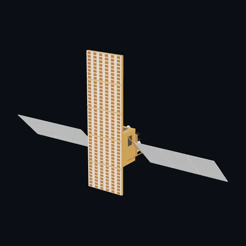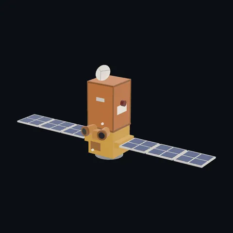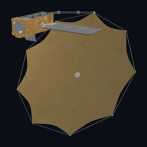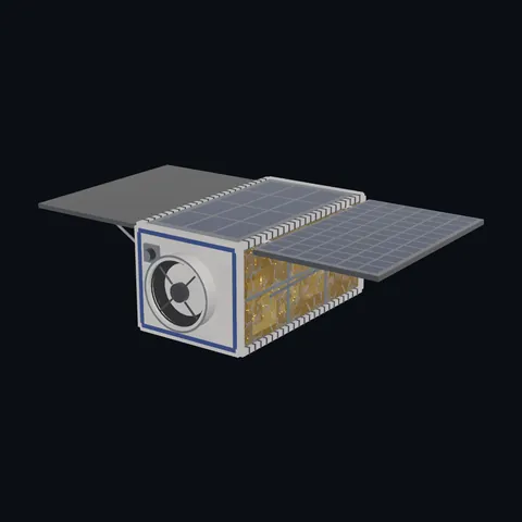
TerraSAR-X
Shape built from published dimensions and pictures; details simplified.
Turn it in 3D
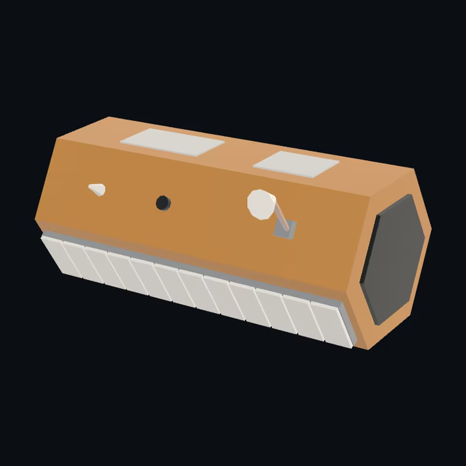
Open the 3D viewer (www.spaceradar.ai).
The viewer loads when you ask: about 700 kB the first time (three.js and the model), much less after.
Pictures 4
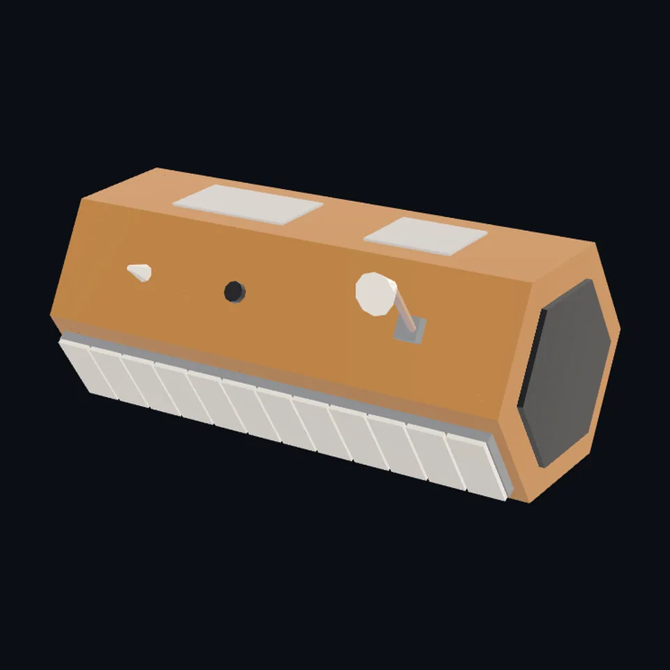 Three-quarter view
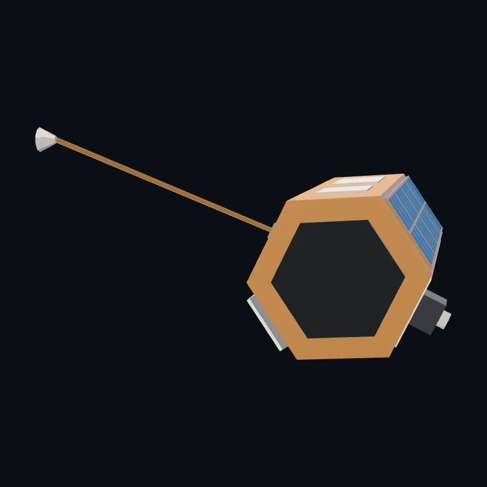 From the side
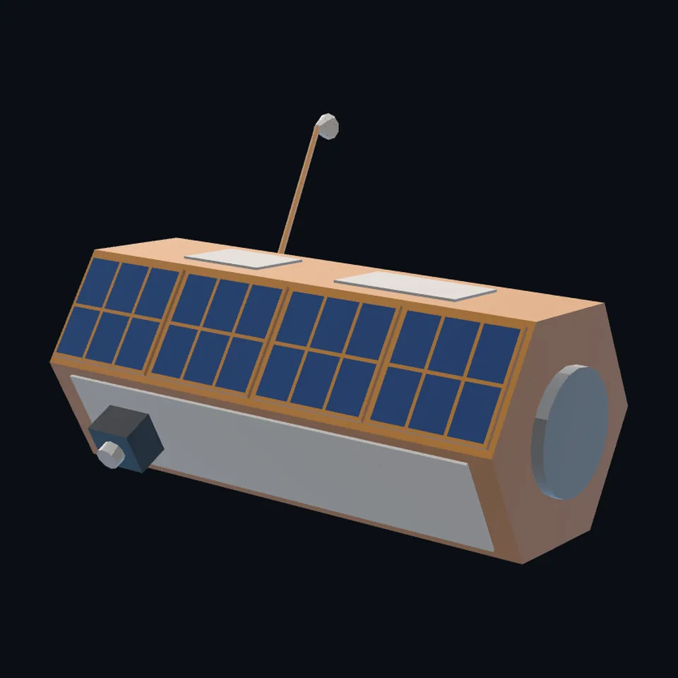 From behind
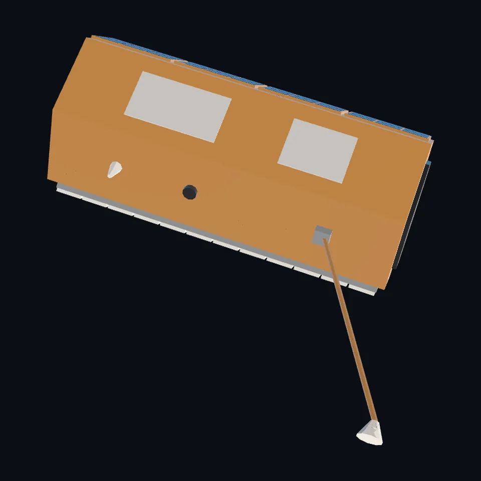 From above
About this model
TerraSAR-X is one of the 203 3D models Space Radar made itself: a satellite, built in code from published dimensions and photographs, with no image-to-3D generator and no one else’s mesh.
Shape built from published dimensions and pictures; details simplified. It has 8,768 triangles in a 52 kB glTF file, and is 5.0 m across at full scale.
On Space Radar’s live map it is drawn for the object with NORAD catalogue number 31698, where its published orbit puts it now. Open it on the map.
Dimensions and their sources
| Measure | Value |
|---|---|
| Body length | 5 m |
| Body across corners | 2.4 m |
| Antenna long | 4.8 m |
| Antenna wide | 0.8 m |
| Antenna thick | 0.15 m |
| Boom | 3.3 m |
eoPortal, eoportal.org/satellite-missions/terrasar-x, OPENED 2026-10-13: 'The TSX bus has a total height of about 5m with a diameter of roughly 2.4m'; 'The SAR antenna is mounted upon the hexagonal side of the spacecraft, which in flight points toward 33.8° off the nadir.'; 'The S/C bus design features a central hexagonal CFRP structure as the main load-carrying element.'; 'Three sides of the hexagon are populated with electronic equipment, while the sun-facing side is additionally carrying the solar array.'; 'The other nadir-looking side is reserved for the accommodation of an S-band TT&C antenna, a SAR data downlink antenna - carried by a deployable boom of 3.3 m length in order to avoid RF interferences during simultaneous radar imaging and data transmission to the ground - and a Laser Retro Reflector'; 'The deep-space-looking surface is used for the LCT (Laser Communication Terminal) and as a thermal radiator.'; 'Antenna aperture size 4.8 m x 0.8 m x 0.15 m'; 'Phase centers 12 (az.) x 32 (el.)'; 'The solar array is of size 5.25 m 2'; 'Sun-synchronous circular dawn-dusk orbit with a local time of ascending node at 18:00 hours'. eoPortal, eoportal.org/satellite-missions/tandem-x, OPENED 2026-10-13: 'TanDEM-X is identical to its twin, TerraSAR-X'. eoPortal, eoportal.org/satellite-missions/paz, OPENED 2026-11-04, of PAZ: 'PAZ is an X-band SAR (Synthetic Aperture Radar) spacecraft based on the TerraSAR-X platform', 'PAZ is built on a Service Module (SM) platform based on that of TerraSAR-X and TanDEM-X.', 'Length: 5m, diameter = 2.4 m', 'a deployable boom of 3.3 m length', 'Body-fixed solar array of size 5.25 m2', 'The SAR antenna (with a size of 4.8 m x 0.7 m)'; DLR, dlr.de/en/rb/research-operation/missions/earth-observation-scien…, OPENED 2026-11-04: 'Operating the three almost identical satellites in a constellation.' THE DIFFERENCE THE PAGES GIVE: PAZ's antenna is 0.7 m wide where this file draws TerraSAR-X's 0.8 m (eoPortal's TerraSAR-X figure); the file is not changed for it, and the card says 'details simplified'. DERIVED: 2.4 m read as the hexagon across its corners, so 2.08 m across the flats and faces 1.2 m wide; 5.25 m2 as 4.9 x 1.07 m. READ OFF DLR'S RENDER: that the solar array is on the face opposite the antenna; the gold foil; the boom's lean toward one end; the dark forward end. OURS: a regular hexagon (the real section is not said to be regular); the pale patches on the two side faces; the laser terminal's box; the antenna's twelve panels drawn as tiles. (read 2026-11-04)
How it was made
Built in code from published dimensions and photographs, with no image-to-3D generator and no one else’s mesh. 3D model: built by Space Radar from published dimensions and DLR's render of TerraSAR-X and TanDEM-X (DLR, CC BY 3.0).
The full record
built by this project in code (the private tool model-from-images: assemble.py, from a yaml of primitives), from the cited dimensions and the pictures under `references`; no image-to-3D model was used, and no published mesh (NASA's 3D Resources on GitHub, 1 583 paths read 2026-10-13, has none of this craft; the survey of 2026-10-13 found no agency model of it under usable terms)
Where the map uses it. NORAD 31698 (TerraSAR-X), 36605 (TanDEM-X) and 43215 (PAZ), in the whole active catalogue: DLR's X-band radar pair, which flies in formation, and PAZ, Hisdesat's radar satellite that Airbus built on the same platform and flies in the same orbit (eoPortal: 'PAZ is an X-band SAR (Synthetic Aperture Radar) spacecraft based on the TerraSAR-X platform'; DLR: 'the three almost identical satellites'; since release 1.8.0, internal #753). They were, and while this file is on its way still are, the shared radar blade (scene/models.js `radar`: Sentinel-1's antenna under a bus with two wings), which these wingless craft are not; public #979
Licence note. CC BY 3.0 (DLR's render it was compared with: looked at for the layout, with credit; nothing of the picture is in the file); the shape is this project's, under this repository's licence. NO LOGO AND NO LETTERING is on the mesh.
References 1
What the shape was compared with. None of these pictures is in the file.
- TerraSAR-X and TanDEM-X satellites in formation flight over EuropaDLRCC BY 3.0 (DLR, German Aerospace Center; the Commons API's LicenseShortName, read 2026-10-13)

Use it
The model is under the MIT licence: use it, change it and share it, in any project, also a paid one. Keep the credit:
TerraSAR-X 3D model by Space Radar (spaceradar.ai), MIT LicenseAny glTF 2.0 loader that reads meshopt compression (EXT_meshopt_compression) opens the file: three.js with its MeshoptDecoder, Babylon.js, model-viewer. Tools such as glTF-Transform can write an uncompressed copy.
Or embed the viewer in your page:
<iframe src="https://www.spaceradar.ai/model/?id=terrasar-x" title="TerraSAR-X, 3D model by Space Radar" width="600" height="450" loading="lazy" style="border:0;max-width:100%"></iframe>Related models