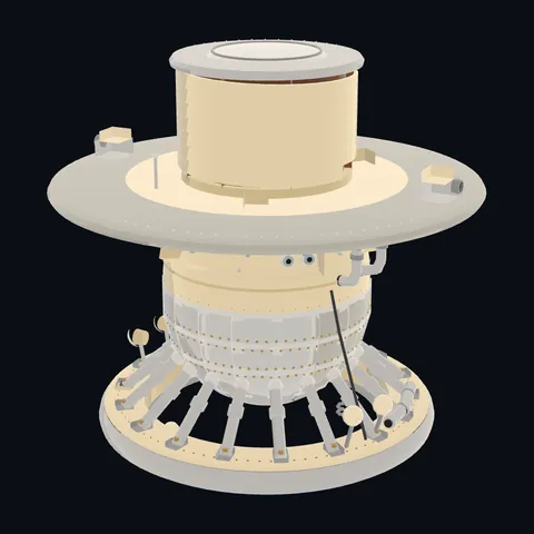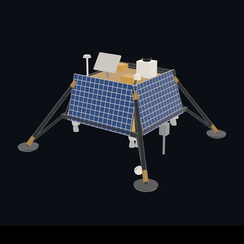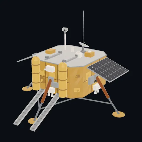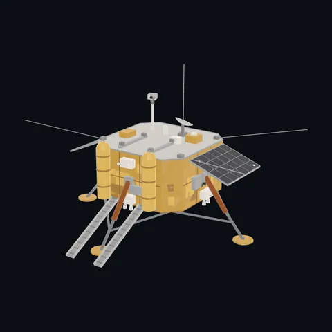
Surveyor 1
Shape built from published dimensions and pictures; details simplified.
Turn it in 3D
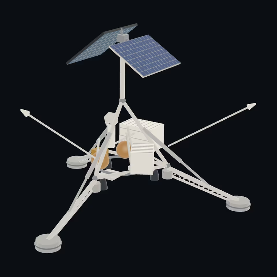
Open the 3D viewer (www.spaceradar.ai).
The viewer loads when you ask: about 700 kB the first time (three.js and the model), much less after.
Pictures 4
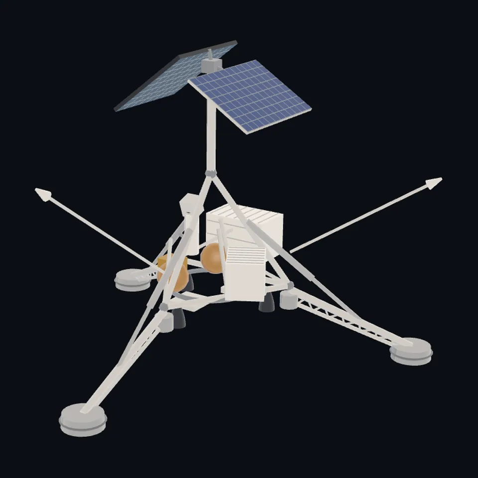 Three-quarter view
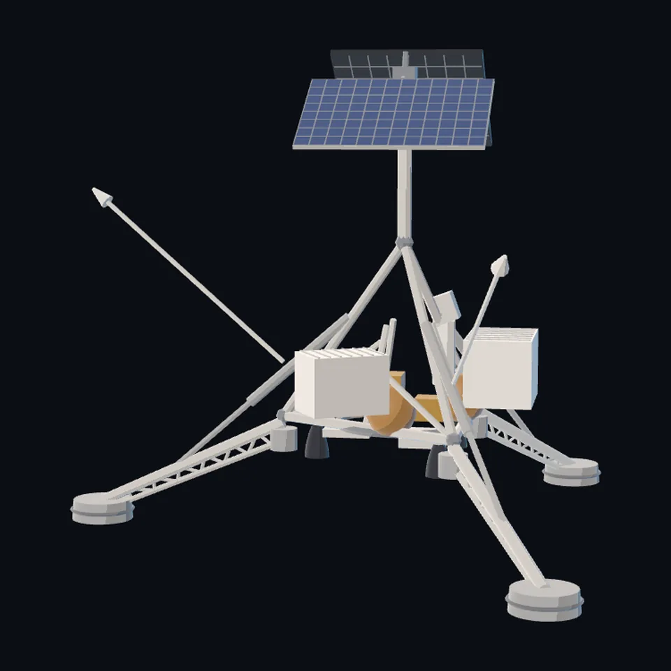 From the side
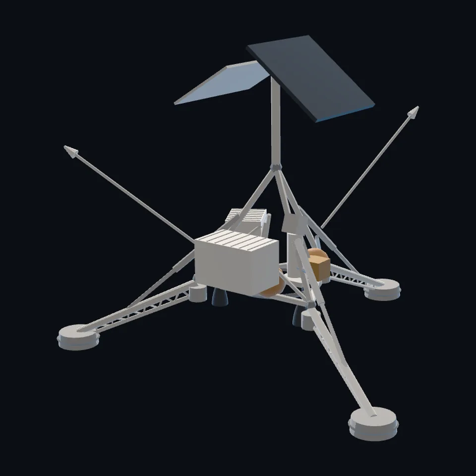 From behind
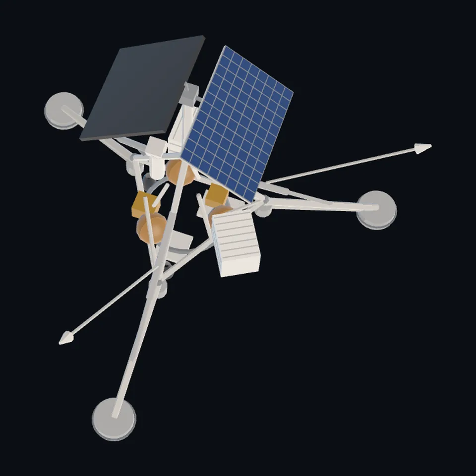 From above
About this model
Surveyor 1 is one of the 203 3D models Space Radar made itself: a lander or rover, built in code from published dimensions and photographs, with no image-to-3D generator and no one else’s mesh.
Shape built from published dimensions and pictures; details simplified. It has 5,674 triangles in a 60 kB glTF file, and is 4.3 m across at full scale.
It is part of the map’s library; no object on the live map is drawn with it today.
Dimensions and their sources
| Measure | Value |
|---|---|
| Height | 3 m |
| Footpads | 4.3 m |
| Panel | 0.855 m² |
NSSDCA, Surveyor 1 (nssdc.gsfc.nasa.gov/nmc/spacecraft/display.action?id=1966-045A) and Surveyor 3 (id=1967-035A), as the procedural shape cites them (scene/models.js buildSurveyor: '3 m tall, 4.3 m across the footpads', the 0.855 m2 array). Wikipedia, 'Surveyor 3', en.wikipedia.org/wiki/Surveyor_3, OPENED 2026-10-20: 'The sampler was mounted below the television camera and consisted primarily of a scoop approximately 4.7 inches (120 mm) long and 2.0 inches (50 mm) wide'; 'The scoop was mounted on a pantograph arm that could be extended about 5 feet (1.5 m)'. OURS: the frame's corners 0.78 m out and 0.72 m up, the compartments' and tanks' sizes, the panel's and the planar array's angles, every tube's size (read 2026-10-20)
How it was made
Built in code from published dimensions and photographs, with no image-to-3D generator and no one else’s mesh. 3D model: built by Space Radar from NSSDCA's dimensions and NASA's and the Smithsonian's photographs (public domain, CC0).
The full record
built by this project in code (release 1.3.0 stage W1-c's part library, lib.py, and one script a craft, kept with the stage's notes), from the cited dimensions and the pictures under `references`; no image-to-3D model was used, and no published mesh (NASA's 3D Resources, 1 583 paths, and NASA Science's 3D models have none of this craft; read 2026-10-20)
Where the map uses it. the surveyor-1 landing site (registry/sites.yaml), Oceanus Procellarum: Surveyor 1, without the soil sampler that Surveyor 3 carried. It was the procedural Surveyor (scene/models.js `surveyor`, from NSSDCA's paragraph), which is still what is drawn while this file is on its way; public #267
Licence note. Public domain (NASA's Apollo 12 photographs) and CC0 (the Smithsonian's photographs): looked at, with credit; nothing of them is in the file. The shape is this project's, under this repository's licence, built from published numbers (facts). NO LOGO AND NO LETTERING is on the mesh.
References 3
What the shape was compared with. None of these pictures is in the file.
- Apollo12ConradSurveyorNASA/Alan BeanPublic domain (NASA, photo ID AS12-48-7134; Commons' LicenseShortName, read 2026-10-20)
- Apollo 12 Mission image - View of the Surveyor III craft, which landed April 19, 1967 (as12-48-7110)NASAPublic domain (NASA Johnson Space Center; Commons' LicenseShortName, read 2026-10-20)
- Lunar Lander, Surveyor - DPLA - d6accc3d89e8efa6f2e88962941bf43a (page 1)Smithsonian NASMCC0 (Smithsonian National Air and Space Museum, through DPLA; Commons' LicenseShortName, read 2026-10-20)


Use it
The model is under the MIT licence: use it, change it and share it, in any project, also a paid one. Keep the credit:
Surveyor 1 3D model by Space Radar (spaceradar.ai), MIT LicenseAny glTF 2.0 loader that reads meshopt compression (EXT_meshopt_compression) opens the file: three.js with its MeshoptDecoder, Babylon.js, model-viewer. Tools such as glTF-Transform can write an uncompressed copy.
Or embed the viewer in your page:
<iframe src="https://www.spaceradar.ai/model/?id=surveyor" title="Surveyor 1, 3D model by Space Radar" width="600" height="450" loading="lazy" style="border:0;max-width:100%"></iframe>Related models