Seasat
Shape built from an artist’s render; proportions approximate.
Turn it in 3D
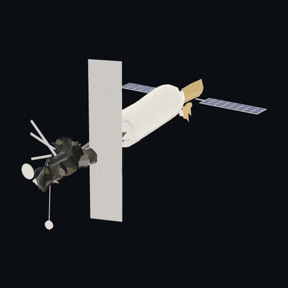
Open the 3D viewer (www.spaceradar.ai).
The viewer loads when you ask: about 700 kB the first time (three.js and the model), much less after.
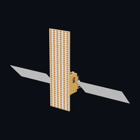
Pictures 4
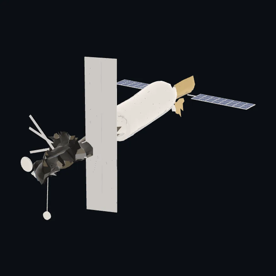 Three-quarter view
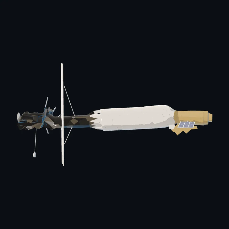 From the side
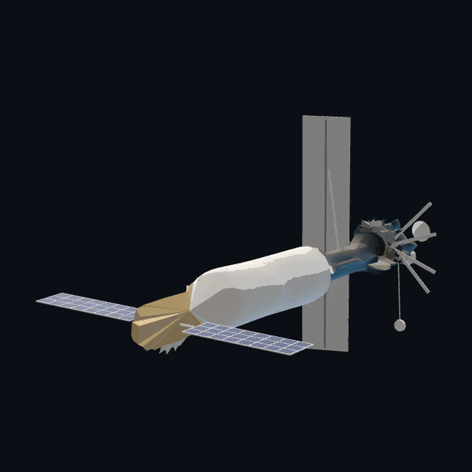 From behind
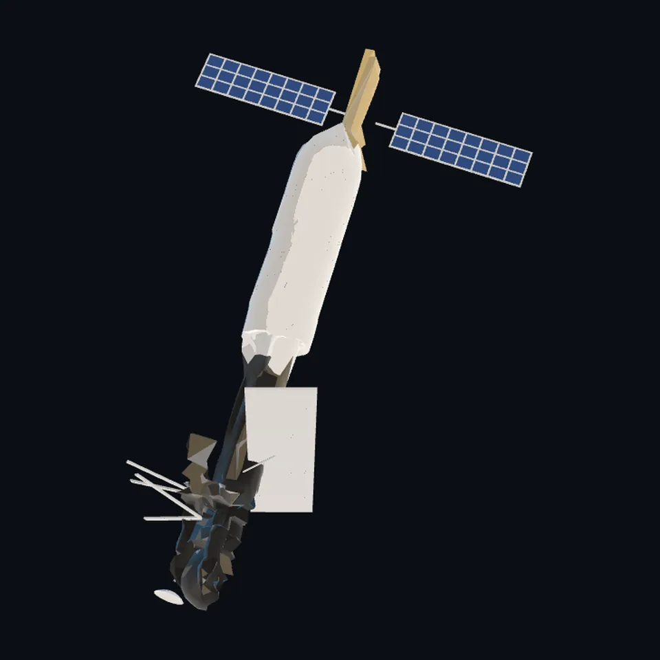 From above
About this model
Seasat is one of the 203 3D models Space Radar made itself: a satellite, generated from a public-domain picture with TRELLIS (Microsoft Research, MIT licence), then repaired, measured and completed in code.
Shape built from an artist’s render; proportions approximate. It has 8,468 triangles in a 66 kB glTF file, and is 21 m across at full scale.
On Space Radar’s live map it is drawn for the object with NORAD catalogue number 10967, where its published orbit puts it now. Open it on the map.
Dimensions and their sources
| Measure | Value |
|---|---|
| Length | 21 m |
| Diameter | 1.5 m |
| Sar length | 10.74 m |
| Sar width | 2.16 m |
| Solar cells | 14.5 m² |
eoportal.org/satellite-missions/seasat, read 2026-10-13: 'S/C size: 21 m length, 1.5 m diameter'; 'the SAR antenna, a 2.1 m x 10.7 m planar array deployed perpendicular to the satellite body' and '1024-element phased array antenna of size 10.74 m x 2.16 m'; the solar panels 'made up an area of 14.5 m2 of solar cells', 'two wings mounted on either side of the aft rack'. NOT CITED, placed by eye from the two artist's concepts: each wing's 4.85 x 1.5 m (the cited area split in two), where the radar antenna hangs and its 20 degree tilt, and the size and place of every stick antenna, dish and boom (read 2026-10-13)
How it was made
Generated from a public-domain picture with TRELLIS (Microsoft Research, MIT licence), then repaired, measured and completed in code. 3D model: generated from a NASA/JPL artist's concept of Seasat with TRELLIS (Microsoft Research, MIT), repaired and coloured by Space Radar.
The full record
github.com/microsoft/TRELLIS — generated on 2026-10-13 by the TRELLIS image-to-3D model (image-large weights, through the Hugging Face Space trellis-community/TRELLIS, one picture, seed 0) from the NASA/JPL artist's concept named first under `references`; only the trunk is the generator's: the wings, the radar antenna, the stick antennas, the dishes and the booms were built in code
Where the map uses it. NORAD 10967 (SEASAT 1), on the layer of bright satellites: the 1978 ocean satellite, dead since that October and still in orbit. It was drawn as the generic radar satellite, a bus with a blade (scene/models.js `radar`), which is still what is drawn while this file is on its way; public #946
Licence note. Public domain (the NASA/JPL artist's concept it was generated from); MIT (TRELLIS, code and weights, whose licence makes no claim on what the model outputs); the repairs, the parts built in code, the proportions and the colours are this project's, under this repository's licence
References 2
What the shape was compared with. None of these pictures is in the file.
- Seasat (artist's concept, JPL craft2)NASA/JPLPublic domain (NASA/JPL artist's concept)
- Seasat in orbit (artist's concept, JPL craft1)NASA/JPLPublic domain (NASA/JPL artist's concept)


Use it
The model is under the MIT licence: use it, change it and share it, in any project, also a paid one. Keep the credit:
Seasat 3D model by Space Radar (spaceradar.ai), MIT LicenseAny glTF 2.0 loader that reads meshopt compression (EXT_meshopt_compression) opens the file: three.js with its MeshoptDecoder, Babylon.js, model-viewer. Tools such as glTF-Transform can write an uncompressed copy.
Or embed the viewer in your page:
<iframe src="https://www.spaceradar.ai/model/?id=seasat" title="Seasat, 3D model by Space Radar" width="600" height="450" loading="lazy" style="border:0;max-width:100%"></iframe>Related models