SBIRS GEO
Shape built from published dimensions and pictures; details simplified.
Turn it in 3D
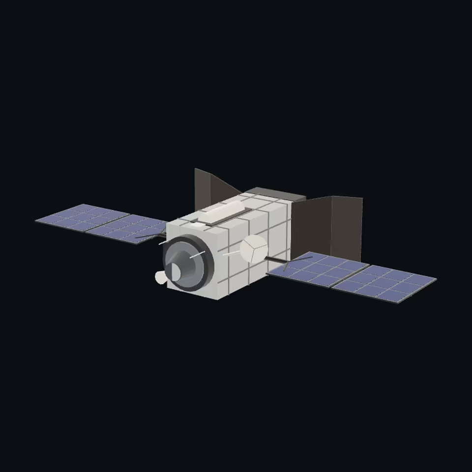
Open the 3D viewer (www.spaceradar.ai).
The viewer loads when you ask: about 700 kB the first time (three.js and the model), much less after.
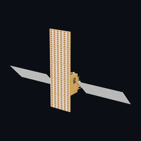
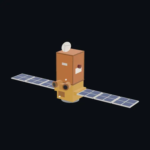
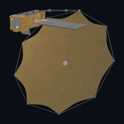
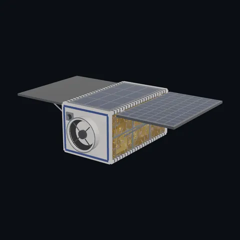
Pictures 4
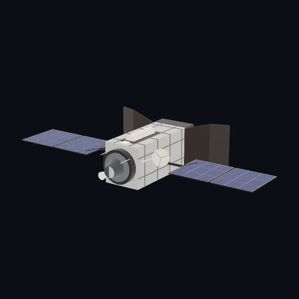 Three-quarter view
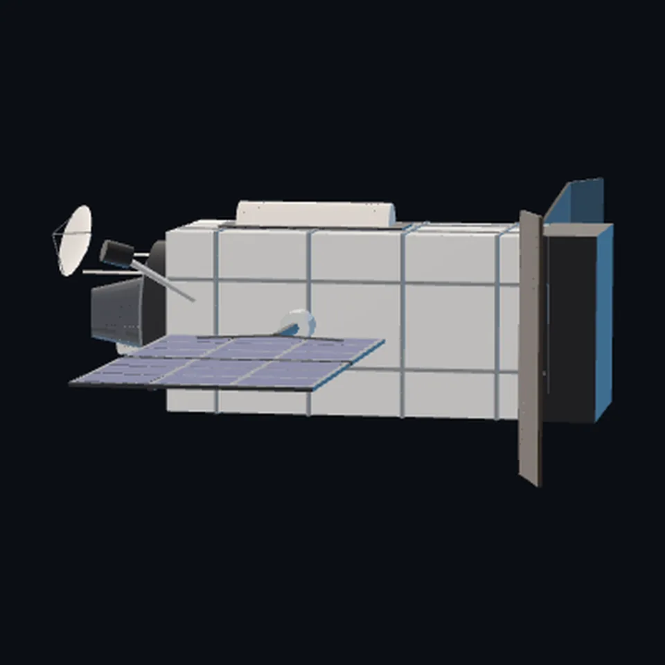 From the side
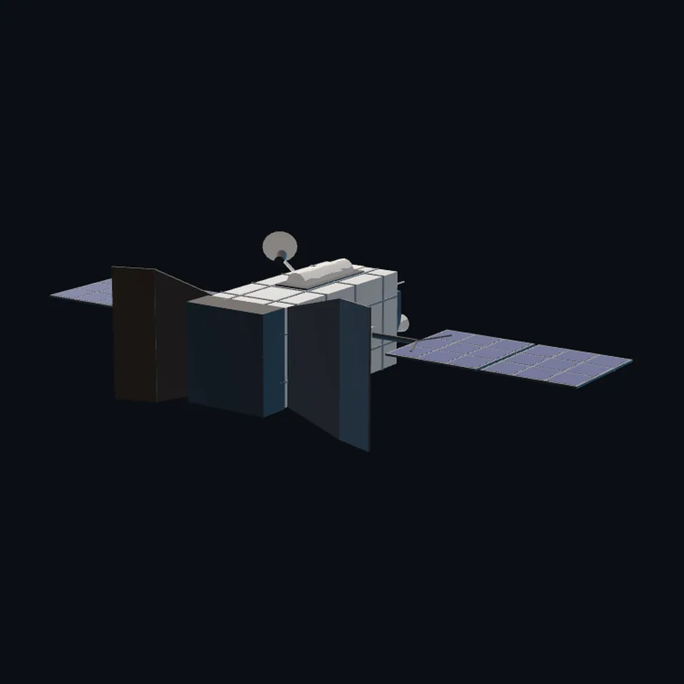 From behind
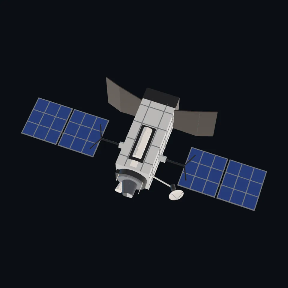 From above
About this model
SBIRS GEO is one of the 203 3D models Space Radar made itself: a satellite, built in code from published dimensions and photographs, with no image-to-3D generator and no one else’s mesh.
Shape built from published dimensions and pictures; details simplified. It has 6,344 triangles in a 41 kB glTF file, and is 15 m across at full scale.
It is part of the map’s library; no object on the live map is drawn with it today.
Dimensions and their sources
| Measure | Value |
|---|---|
| Span | 15 m |
| Height | 6.1 m |
| Depth | 6.7 m |
| Envelope | 15 × 6.7 × 6.1 m |
Wikipedia's infobox of USA-230 (SBIRS GEO-1) and USA-282 (SBIRS GEO-4), en.wikipedia.org/wiki/USA-282, read 2026-10-27: 'dimensions = 15 m x 6.7 m x 6.1 m'; bus 'A2100M'; launch mass 4 500 kg. That page does not say which axis is which: 15 m is read as the span over the wings, 6.1 m as the height of the core with its sensor head, and 6.7 m as the depth over the folded radiator doors. The US Space Force's fact sheet (losangeles.spaceforce.mil, 'Space Based Infrared System (SBIRS)') says, as quoted by a search engine on 2026-10-27, 'two sensors; a scanner and a step-starer' on a 'militarized, radiation-hardened' A2100. Shapes (a tall box of silver blanket, a round sensor head on the Earth face, two wings of two panels on long yokes, two radiator doors, a small dish on a boom, an open bay with a white tank on one face) are read off the Air Force's released art (Commons: 'SBIRS-GEO 2.jpg', 'SBIRS-GEO.jpg', public domain) and looked at in Lockheed Martin's SBIRS product card (lockheedmartin.com/content/dam/lockheed-martin/space/photo/sbirs…).pdf, a Lockheed picture, looked at only, nothing of it is used). The sensor's inside is NOT PUBLIC and is not drawn: the head is a closed round housing with a dark aperture and a pointing baffle, as the art draws it.
How it was made
Built in code from published dimensions and photographs, with no image-to-3D generator and no one else’s mesh. 3D model: built by Space Radar from public US Air Force art and published numbers (public domain sources).
The full record
built by this project in code (the private tool model-from-images: assemble.py, from a yaml of primitives), from the cited dimensions and the pictures under `references`; no image-to-3D model was used, and no published mesh (NASA's 3D Resources has none of this craft and no agency model of it was found on 2026-10-27). ONLY PUBLIC, OFFICIALLY RELEASED PICTURES AND NUMBERS WERE USED: nothing beyond what the US Air Force, Space Force, Navy or the maker has released is drawn, and where a page does not say (the inside of a sensor, a payload's layout, the size of a part) the part is a plain closed shape or is left out, and the row says which.
Where the map uses it. the six SBIRS GEO records (`SBIRS GEO-1 (USA 230)` to `SBIRS GEO-6 (USA 336)`, 6 in the live saved data of 2026-10-12), by number: the Space Force's missile-warning satellites on the militarised A2100M bus. They wore the generic satellite; public #1099
Licence note. Public domain for the pictures read off (works of the US federal government, the Commons API's LicenseShortName, read 2026-10-27); the shape is this project's, under this repository's licence, built from published numbers (facts). NO LOGO AND NO LETTERING is on the mesh. NO MAKER'S PRESS-KIT PICTURE WAS COPIED OR PROJECTED: where one was looked at (named in `dimensions.source`) it is said so there.
References 2
What the shape was compared with. None of these pictures is in the file.
- SBIRS-GEO 2USAF (Wikimedia Commons)Public domain (USAF; the Commons API's LicenseShortName, read 2026-10-27)
- SBIRS-GEOUS Air Force (Wikimedia Commons)Public domain (US Air Force; the Commons API's LicenseShortName, read 2026-10-27)


Use it
The model is under the MIT licence: use it, change it and share it, in any project, also a paid one. Keep the credit:
SBIRS GEO 3D model by Space Radar (spaceradar.ai), MIT LicenseAny glTF 2.0 loader that reads meshopt compression (EXT_meshopt_compression) opens the file: three.js with its MeshoptDecoder, Babylon.js, model-viewer. Tools such as glTF-Transform can write an uncompressed copy.
Or embed the viewer in your page:
<iframe src="https://www.spaceradar.ai/model/?id=sbirs-geo" title="SBIRS GEO, 3D model by Space Radar" width="600" height="450" loading="lazy" style="border:0;max-width:100%"></iframe>Related models