ERS-1
Shape built from published dimensions and pictures; details simplified.
Turn it in 3D
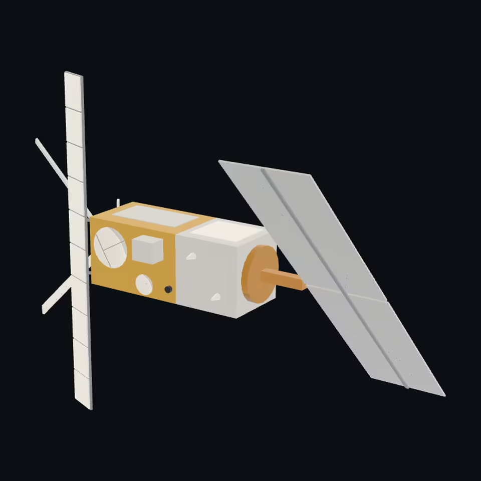
Open the 3D viewer (www.spaceradar.ai).
The viewer loads when you ask: about 700 kB the first time (three.js and the model), much less after.
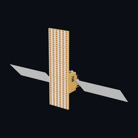
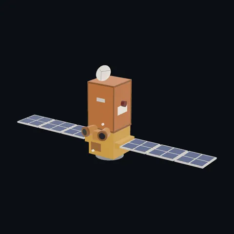
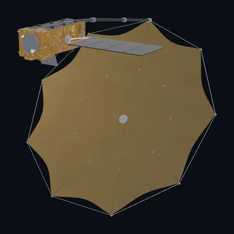
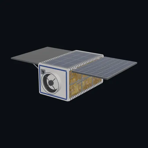
Pictures 4
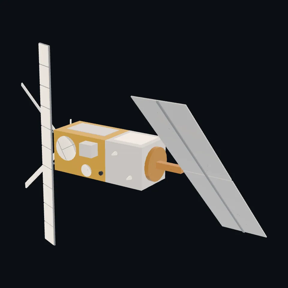 Three-quarter view
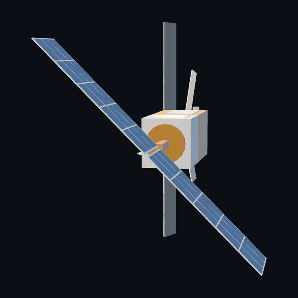 From the side
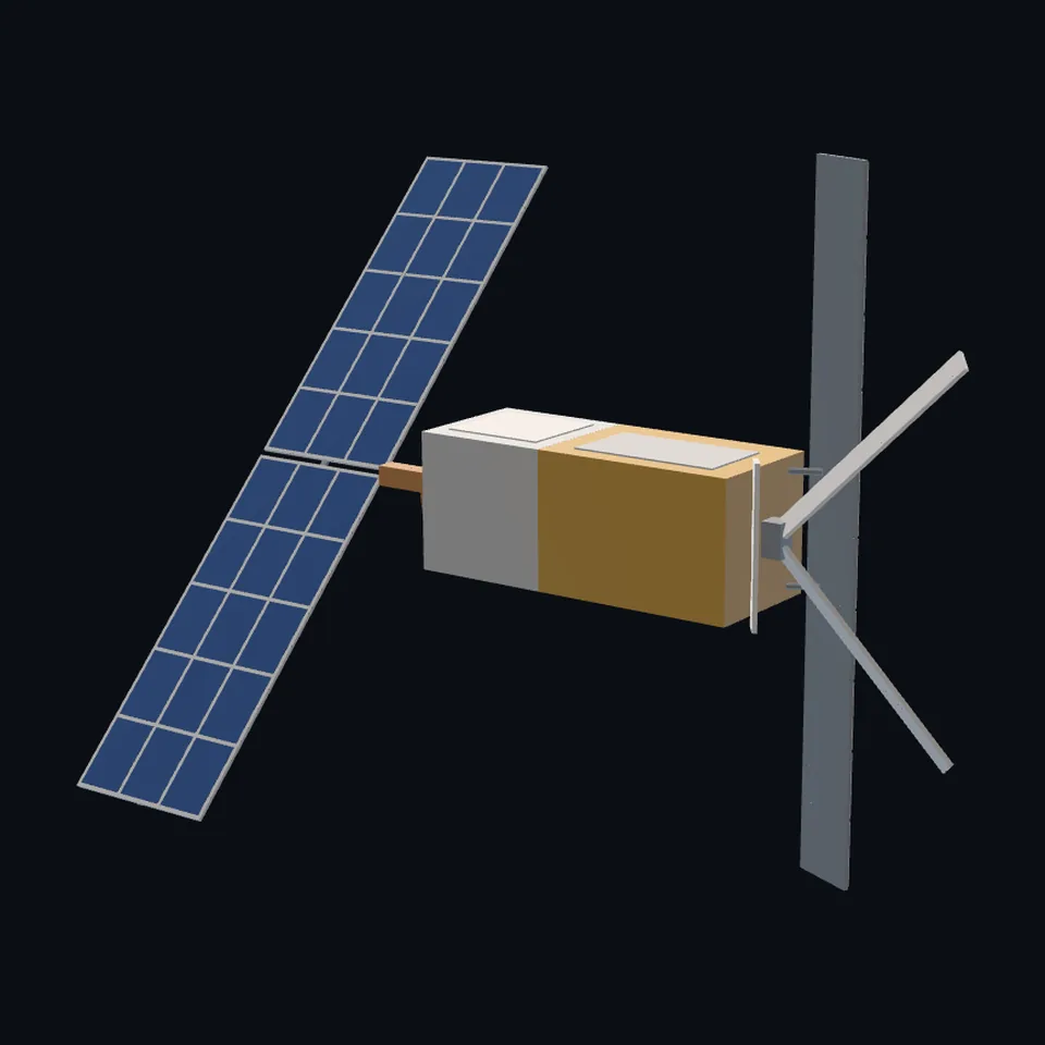 From behind
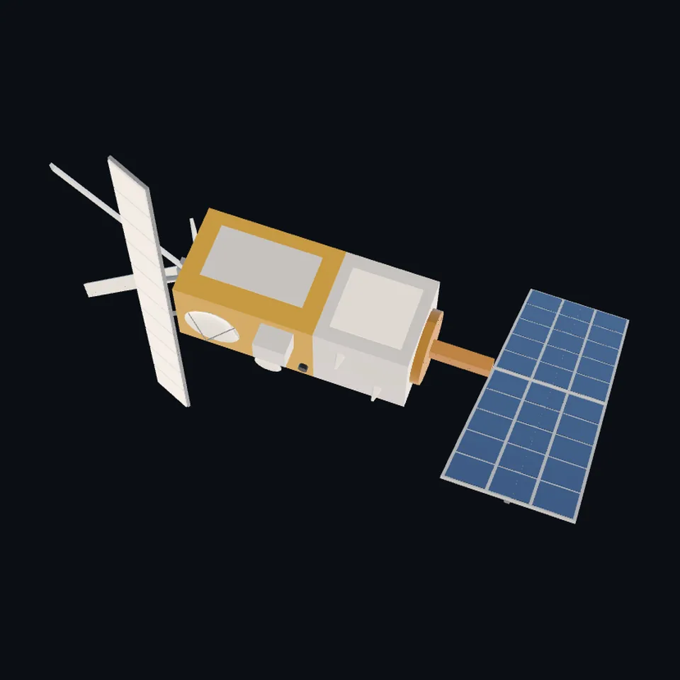 From above
About this model
ERS-1 is one of the 203 3D models Space Radar made itself: a satellite, built in code from published dimensions and photographs, with no image-to-3D generator and no one else’s mesh.
Shape built from published dimensions and pictures; details simplified. It has 6,812 triangles in a 44 kB glTF file, and is 12 m across at full scale.
On Space Radar’s live map it is drawn for the object with NORAD catalogue number 21574, where its published orbit puts it now. Open it on the map.
Dimensions and their sources
| Measure | Value |
|---|---|
| Overall height | 11.8 m |
| Payload module height | 3 m |
| Payload module side | 2 m |
| Solar array long | 11.7 m |
| Solar array wide | 2.4 m |
| Sar antenna long | 10 m |
| Sar antenna wide | 1 m |
| Scatterometer fore aft | 3.6 m |
| Scatterometer mid | 2.3 m |
| Altimeter dish | 1.2 m |
eoPortal, eoportal.org/satellite-missions/ers-1, OPENED 2026-10-14: 'The platform is a SPOT program bus (SPOT MK1 bus), modified to meet the needs of the ERS missions.'; 'The payload support module has dimensions of 2 m x 2 m x 3 m (height).'; 'The solar array (11.7 m x 2.4 m in size) consists of two 5.8 m x 2.4 m panels and supports a peak payload power of 2600 W. The antenna is a slotted-waveguide array made of metallized CFRP (Carbon Fiber Reinforced Plastic).'; '2384 kg (at launch), overall height of 11.8 m'; AMI in imaging mode: 'antenna size =10 m x 1 m; look angle = 23º'; AMI in wind scatterometer mode: 'Use of three separate sideways-looking antennas (fore, mid and aft beams'; 'swath width = 500 km (same side as SAR imaging)'; 'antenna length = 2.3 m (mid), 3.6 m(fore), 3.6 m (aft)'; 'RA-1 is operating in Ku-band, consisting of a reflector, waveguide feed, tripod plus supporting structure, horn feed and the waveguide'; 'antenna diameter = 1.2 m'; 'The MWR instrument uses a 60 cm Cassegrain offset-fed antenna to view the Earth in nadir direction'; LRR: 'diameter: ≤ 20 cm'; 'The ERS-1 mission ended on March 10, 2000, due to a failure of the onboard attitude control system.' THE PAGE DISAGREES WITH ITSELF on the array: 'a dual-wing solar array subassembly' and 'Solar array subassembly (2 wings)' in one place, 'two 5.8 m x 2.4 m panels' in another; the photographs show ONE array of two panels across the end of an arm, which is what is built. READ OFF THE PHOTOGRAPHS: the radar antenna across the far end of the body; the scatterometer's two long antennas in a V beyond it and the short one between them; the dish on the Earth face; the array on an arm beyond the platform, its long side square to the body; a gold payload module and a silver platform. HOW THE 11.8 m IS READ (ours): from the tips of the scatterometer's antennas to the array's far edge, along the body; the model is 11.8 m that way. OURS: the platform as 2 x 2 x 2 m; the arm's 1.3 m; the V's 45 degrees and the antennas' tilt; ten tiles on the radar antenna; the radiometer's box; every place on the Earth face. (read 2026-10-14)
How it was made
Built in code from published dimensions and photographs, with no image-to-3D generator and no one else’s mesh. 3D model: built by Space Radar from published dimensions and a photograph of the full-size model of ERS by abrev (public domain).
The full record
built by this project in code (the private tool model-from-images: assemble.py, from a yaml of primitives), from the cited dimensions and the pictures under `references`; no image-to-3D model was used, and no published mesh (NASA's 3D Resources on GitHub, 1 583 paths read 2026-10-13, has none of this craft; the survey of 2026-10-13 found no agency model of it under usable terms; ESA's own pictures and models were NOT used: ESA's terms forbid derivative works)
Where the map uses it. NORAD 21574 (ERS-1), on the layer of bright satellites: ESA's first Earth-observation satellite, launched in 1991; its mission ended in March 2000 and it is still in orbit. It was, and while this file is on its way still is, the shared radar blade (scene/models.js `radar`), which is not this craft. ERS-2 is in none of the saved data files of 2026-10-12 and has no row; public #945
Licence note. Public domain (a visitor's own photograph of the full-size model, released by its author, which the layout was read off; nothing of the picture is in the file); the shape is this project's, under this repository's licence, built from published numbers (facts). NO ESA PICTURE WAS USED. NO LOGO AND NO LETTERING is on the mesh.
References 3
What the shape was compared with. None of these pictures is in the file.
- Ers1modabrev (Wikimedia Commons)Public domain (released by its author, the Commons user abrev: 'Model of European Remote Sensing Satellite (ERS) in original size'; the Commons API's LicenseShortName, read 2026-10-14)
- Maquette-ERS-1Pline (Wikimedia Commons)CC BY-SA 3.0 (Pline, own work; read 2026-10-14): share-alike, LOOKED AT ONLY, never fetched by the tool and not on any sheet
- Ers-1unknown (Wikimedia Commons names none)Commons says 'Public domain' and names NO AUTHOR AND NO SOURCE (read 2026-10-14): not relied on as free, LOOKED AT ONLY, never fetched by the tool and not on any sheet


Use it
The model is under the MIT licence: use it, change it and share it, in any project, also a paid one. Keep the credit:
ERS-1 3D model by Space Radar (spaceradar.ai), MIT LicenseAny glTF 2.0 loader that reads meshopt compression (EXT_meshopt_compression) opens the file: three.js with its MeshoptDecoder, Babylon.js, model-viewer. Tools such as glTF-Transform can write an uncompressed copy.
Or embed the viewer in your page:
<iframe src="https://www.spaceradar.ai/model/?id=ers-1" title="ERS-1, 3D model by Space Radar" width="600" height="450" loading="lazy" style="border:0;max-width:100%"></iframe>Related models