Envisat
Shape built from published dimensions and pictures; details simplified.
Turn it in 3D
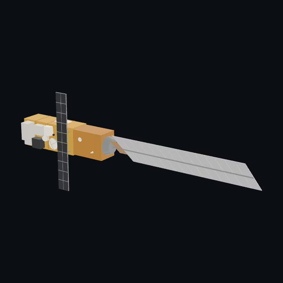
Open the 3D viewer (www.spaceradar.ai).
The viewer loads when you ask: about 700 kB the first time (three.js and the model), much less after.
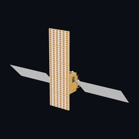
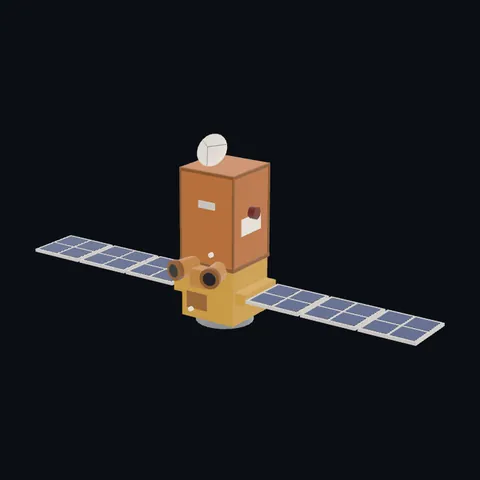
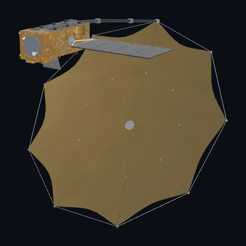
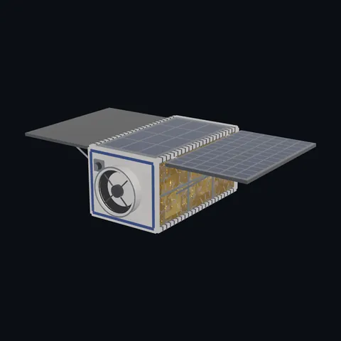
Pictures 4
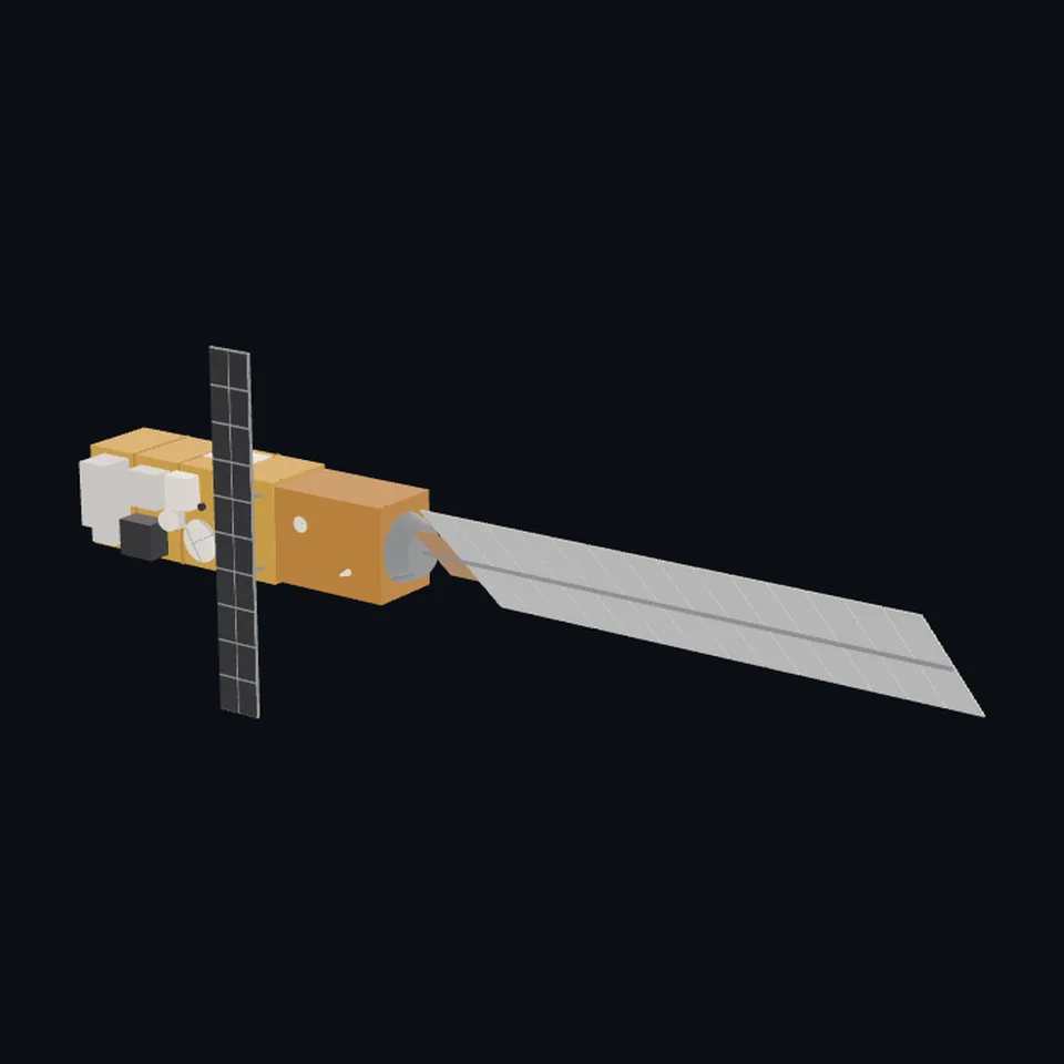 Three-quarter view
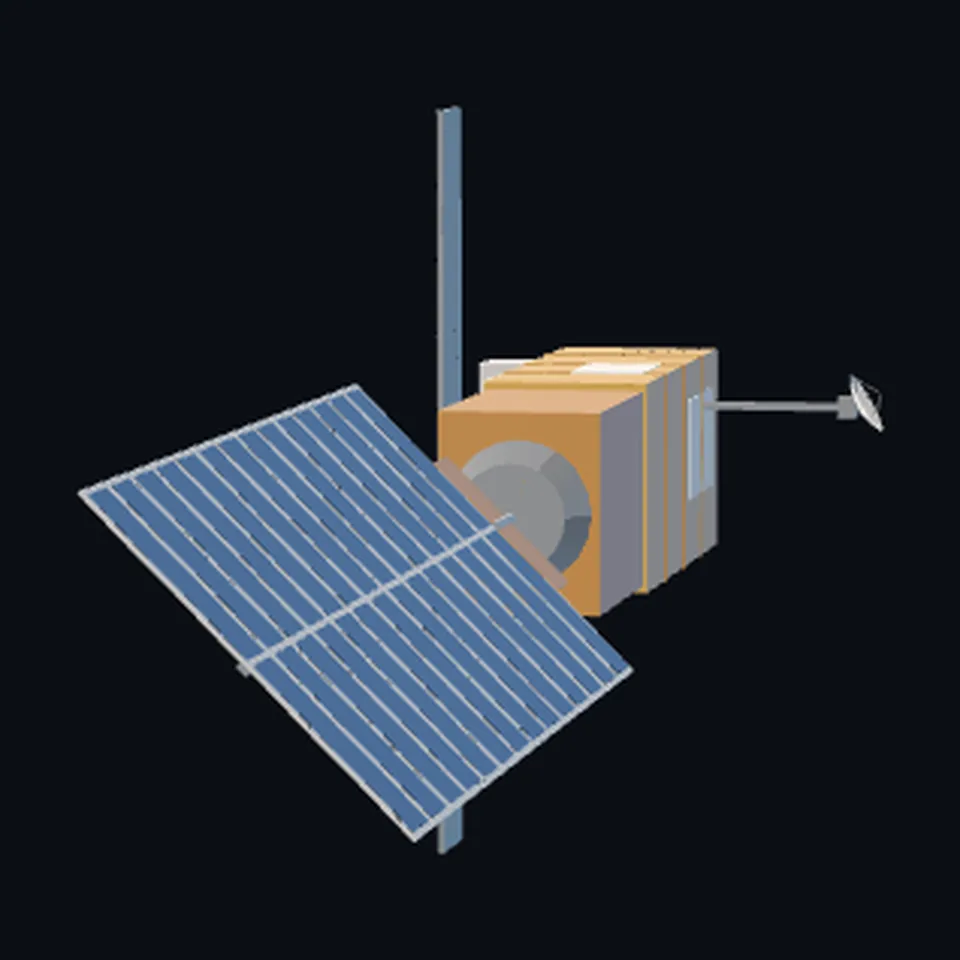 From the side
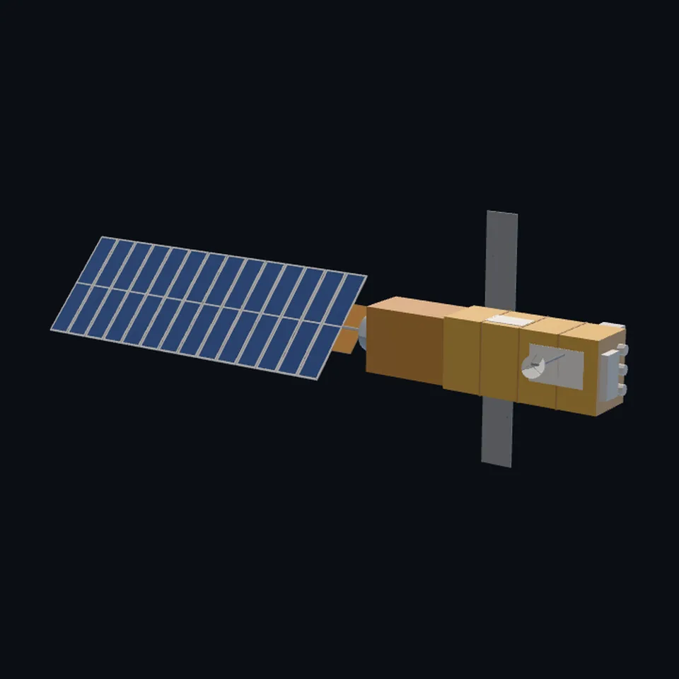 From behind
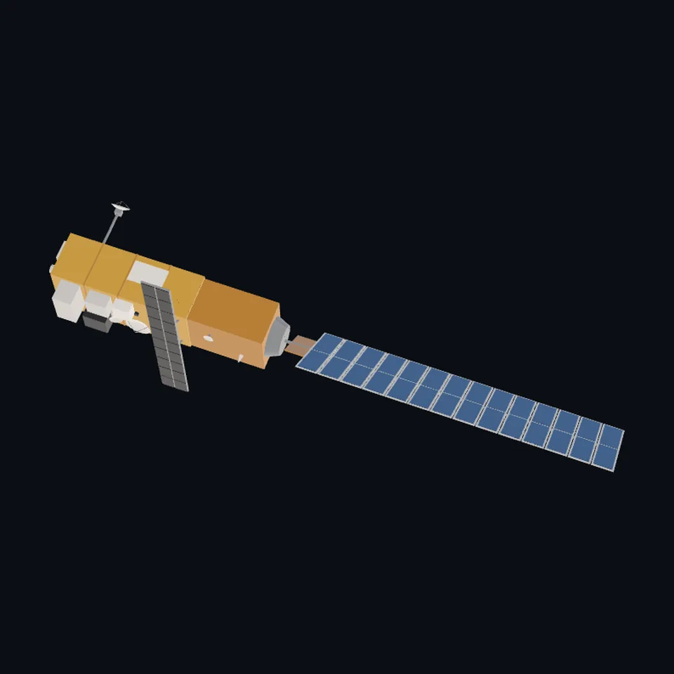 From above
About this model
Envisat is one of the 203 3D models Space Radar made itself: a satellite, built in code from published dimensions and photographs, with no image-to-3D generator and no one else’s mesh.
Shape built from published dimensions and pictures; details simplified. It has 10,720 triangles in a 60 kB glTF file, and is 26 m across at full scale.
On Space Radar’s live map it is drawn for the object with NORAD catalogue number 27386, where its published orbit puts it now. Open it on the map.
Dimensions and their sources
| Measure | Value |
|---|---|
| Launch length | 10.5 m |
| Launch envelope diameter | 4.57 m |
| In orbit length | 26 m |
| In orbit width | 10 m |
| Solar panel long | 14 m |
| Solar panel wide | 5 m |
| Asar long | 10 m |
| Asar wide | 1.3 m |
| Ka mast | 2 m |
| Ka dish | 0.9 m |
| Ra2 dish | 1.2 m |
eoPortal, eoportal.org/satellite-missions/envisat, OPENED 2026-10-14: 'S/C dimensions - Launch configuration: 10.5 m length; 4.57 m envelope diameter - In-orbit configuration: 26 m (total length with solar array) x 10 m x 5 m'; '6.5 kW (EOL) with single-sided solar arrays, size of solar panel: 5 m x 14 m'; 'EnviSat consisted of the Polar Platform ( PPF ) bus and the payload complement.'; 'The SM was derived from the SPOT Maverick-II (Mk-II) bus design, built around a Carbon Fibre Reinforced Plastic (CFRP) cone as the primary structure with a launcher interface at one end and the propulsion module at the other.'; 'The structure of the PLM consists of a 1.2 m diameter CFRP tube and a set of CFRP sandwich panels, forming the webs and external faces of the PLM box. The structure is conceived as a stack of four bays, each 1.6 m high.'; 'The PLM features externally mounted antennas (of ASAR and RA-2) and the following instruments (MERIS, MIPAS, GOMOS optical assembly, SCIAMACHY, MWR, and DORIS) on a payload carrier.'; 'Once deployed, the array is rotated to point continuously towards the sun using a solar-array drive mechanism, which is attached to the base of the central cone.'; 'The ASAR active antenna is a phased array of size 1.3 m x 10 m'; '10 m x 1.3 m (consisting of five 1.3 m x 2 m panels)'; 'The antenna array contains 20 tiles (each 1 m x 0.65 m in size)'; 'The assembly uses a 2 m deployable mast located on the opposite side of the satellite to the Earth. The mast is equipped with an azimuth and elevation pointing mechanism, which steers a 90 cm-diameter Cassegrain antenna pointed to the ARTEMIS satellite.'; MERIS: 'Instrument mass, power, size 200 kg, 175 W (average), 1.8 m x 0.9 m x 1.0 m'; RA-2: 'Antenna diameter, beamwidth 1.2 m'; 'LRR is mounted on the nadir panel close to the RA-2 antenna'; MWR: 'The antenna subsystem includes a 60 cm reflector'; 'The Local Time on Descending Node (LTDN) was at 1000 hours'; 'April 8, 2012: Contact with EnviSat was unexpectedly lost'; 'May 9, 2012: ESA declared the end of the EnviSat mission.' HOW THE THREE NUMBERS OF THE IN-ORBIT SIZE ARE READ (ours): 26 m is the body's 10.5 m, the 0.3 m that stands on its far end, a 1.2 m arm and the 14 m wing, end to end, as the page's own words 'total length with solar array' say; 10 m is the ASAR antenna, which lies ACROSS the body; 5 m is the wing's width. READ OFF THE PUBLIC-DOMAIN PHOTOGRAPH of the full-size model: the antenna across the body on its Earth face, standing off it, its Earth side dark; the wing beyond the service module's end; the instruments as silver boxes on a gold-orange body; three cylinders on the far end; two white dishes on the Earth face. OURS: the body's section (2.8 x 2.2 m); where each instrument stands and every box that is not MERIS; where along the body the antenna crosses it and where the Ka-band mast stands; fourteen 1 m sections of the wing; the wing's arm. NOT FOUND on the page: the body's width, the wing's panel count. (read 2026-10-14)
How it was made
Built in code from published dimensions and photographs, with no image-to-3D generator and no one else’s mesh. 3D model: built by Space Radar from published dimensions and a photograph of the full-size model of Envisat by abrev (public domain).
The full record
built by this project in code (the private tool model-from-images: assemble.py, from a yaml of primitives), from the cited dimensions and the pictures under `references`; no image-to-3D model was used, and no published mesh (NASA's 3D Resources on GitHub, 1 583 paths read 2026-10-13, has none of this craft; the survey of 2026-10-13 found no agency model of it under usable terms; ESA's own pictures and models were NOT used: ESA's terms forbid derivative works)
Where the map uses it. NORAD 27386 (ENVISAT), on the layers of bright satellites and of famous debris: ESA's eight-tonne Earth observatory, launched in 2002, dead since April 2012 and still in orbit. It was, and while this file is on its way still is, the shared radar blade (scene/models.js `radar`: Sentinel-1's antenna under a bus with two wings), which is not this craft; public #944
Licence note. Public domain (a visitor's own photograph of the full-size model, released by its author, which the layout was read off; nothing of the picture is in the file); the shape is this project's, under this repository's licence, built from published numbers (facts). NO ESA PICTURE AND NO ESA MODEL WAS USED. NO LOGO AND NO LETTERING is on the mesh (the model in the photograph carries a logo; the file does not).
References 1
What the shape was compared with. None of these pictures is in the file.
- Envisatmodabrev (Wikimedia Commons)Public domain (released by its author, the Commons user abrev: 'Model of Envisat in original size'; the Commons API's LicenseShortName, read 2026-10-14)

Use it
The model is under the MIT licence: use it, change it and share it, in any project, also a paid one. Keep the credit:
Envisat 3D model by Space Radar (spaceradar.ai), MIT LicenseAny glTF 2.0 loader that reads meshopt compression (EXT_meshopt_compression) opens the file: three.js with its MeshoptDecoder, Babylon.js, model-viewer. Tools such as glTF-Transform can write an uncompressed copy.
Or embed the viewer in your page:
<iframe src="https://www.spaceradar.ai/model/?id=envisat" title="Envisat, 3D model by Space Radar" width="600" height="450" loading="lazy" style="border:0;max-width:100%"></iframe>Related models