CBERS-4
Shape built from published dimensions and pictures; details simplified.
Turn it in 3D
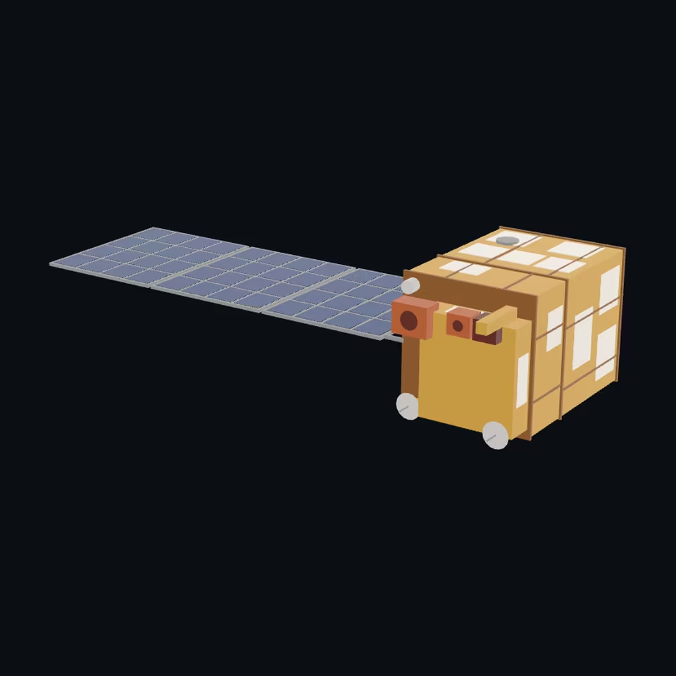
Open the 3D viewer (www.spaceradar.ai).
The viewer loads when you ask: about 700 kB the first time (three.js and the model), much less after.
Pictures 4
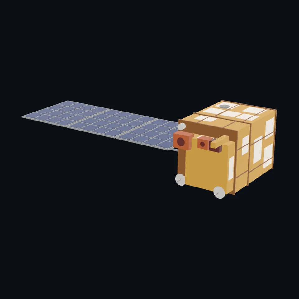 Three-quarter view
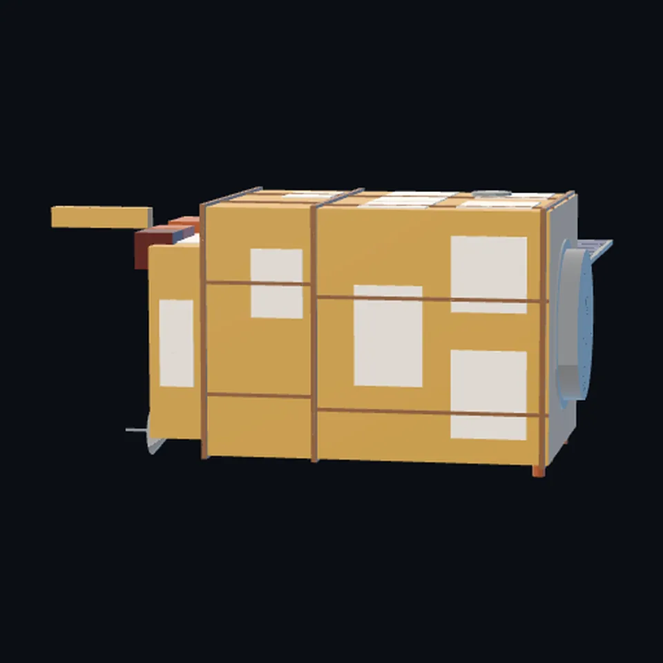 From the side
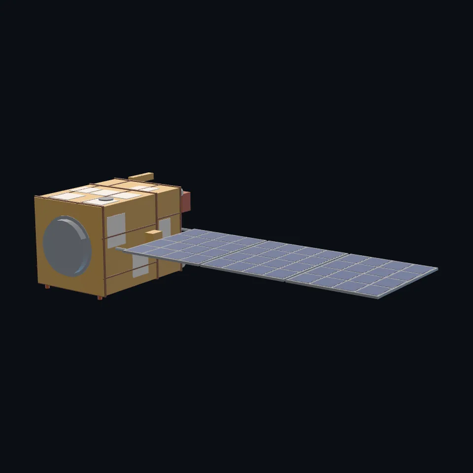 From behind
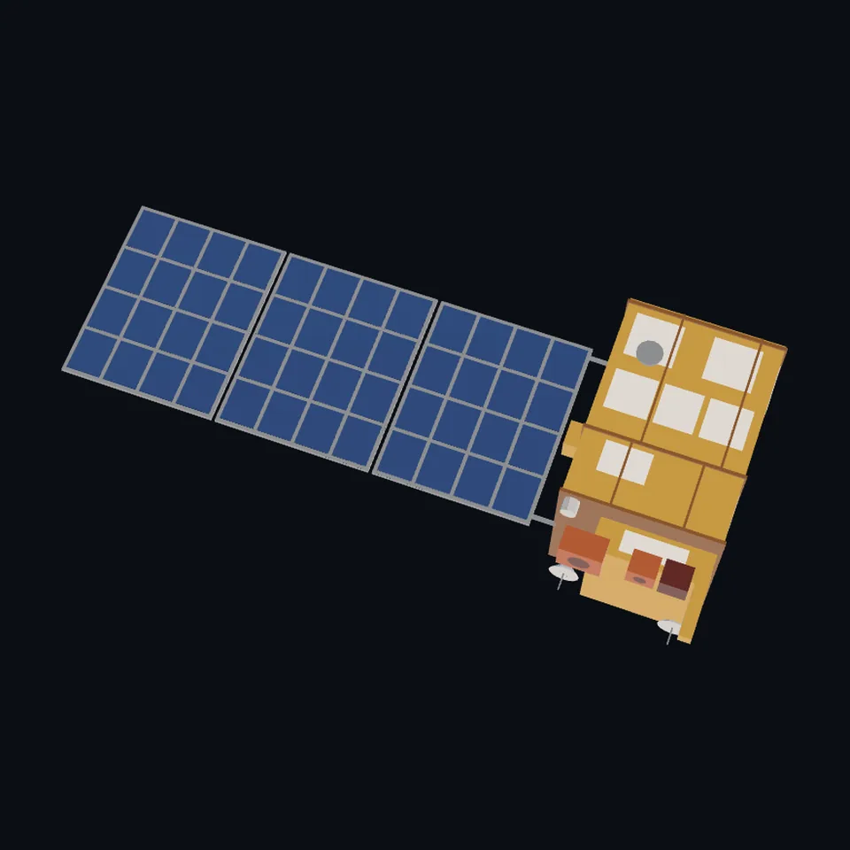 From above
About this model
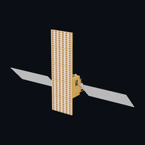
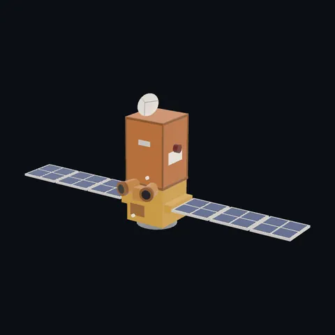
CBERS-4 is one of the 203 3D models Space Radar made itself: a satellite, built in code from published dimensions and photographs, with no image-to-3D generator and no one else’s mesh.
Shape built from published dimensions and pictures; details simplified. It has 7,850 triangles in a 46 kB glTF file, and is 6.3 m across at full scale.
On Space Radar’s live map it is drawn for the object with NORAD catalogue number 40336, where its published orbit puts it now. Open it on the map.
Dimensions and their sources
| Measure | Value |
|---|---|
| Folded height | 3.25 m |
| Folded diameter | 3.35 m |
| Array | 6.3 × 2.6 m |
| Mass | 1980 kg |
eoPortal, eoportal.org/satellite-missions/cbers-3-4, OPENED 2026-10-27: 'The spacecraft consists of a hexahedron shaped structure divided in service and payload modules'; 'In the orbital configuration, the Z axis is pointed to nadir (Earth's surface). The cameras and antennas are mounted on the +Z side panel. The solar panel is mounted on the -Y side panel and rotates around the Y axis.'; 'The nominal payload capability of the platform is ~1000 kg; the mass of the entire spacecraft is ~1980 kg. In its folded (launch) configuration, the dimensions are: 3.25 m in height and 3.35 m in diameter'; the array's 6.3 x 2.6 m from INPE/CAST's text as NASASpaceflight reproduces it (nasaspaceflight.com/2014/12/200th-long-march-launches-cbers-4-br…). OURS: the body's 2.0 x 2.0 m plan and the split of the 3.25 m into two modules and a step, every patch's place, the cameras' boxes, the antennas' places.
How it was made
Built in code from published dimensions and photographs, with no image-to-3D generator and no one else’s mesh. 3D model: built by Space Radar from published dimensions and INPE's photographs of CBERS-4 (CBERS/INPE – Divulgação).
The full record
built by this project in code (the private tool model-from-images: assemble.py, from a yaml of primitives), from the cited dimensions and the pictures under `references`; no image-to-3D model was used, and no published mesh: NASA's 3D Resources (1 583 paths, read 2026-10-27) has none of these craft, and no agency named here publishes a model of its own under terms that allow one
Where the map uses it. NORAD 40336 (CBERS 4), the one record in the active catalogue of 2026-10-26: the China-Brazil Earth Resources Satellite launched in 2014 by INPE and CAST, a gold two-module body with one large solar array on its side; public #1137
Licence note. INPE's gallery photographs (CBERS-4 in Beijing before launch) were looked at for the layout, with credit; nothing of any picture is in the file. The shape is this project's, under this repository's licence, built from published numbers (facts). NO LOGO AND NO LETTERING is on the mesh.
References 1
What the shape was compared with. None of these pictures is in the file.
- CBERS-4 001, 010, 016 and 017: CBERS-4 being prepared in ChinaCBERS/INPE – DivulgaçãoINPE's gallery: 'Todas as imagens poderão ser reproduzidas, desde que citada a fonte: CBERS/INPE – Divulgação' (all images may be reproduced if the source is cited; the Commons file's own licence text, read 2026-10-27)

Use it
The model is under the MIT licence: use it, change it and share it, in any project, also a paid one. Keep the credit:
CBERS-4 3D model by Space Radar (spaceradar.ai), MIT LicenseAny glTF 2.0 loader that reads meshopt compression (EXT_meshopt_compression) opens the file: three.js with its MeshoptDecoder, Babylon.js, model-viewer. Tools such as glTF-Transform can write an uncompressed copy.
Or embed the viewer in your page:
<iframe src="https://www.spaceradar.ai/model/?id=cbers-4" title="CBERS-4, 3D model by Space Radar" width="600" height="450" loading="lazy" style="border:0;max-width:100%"></iframe>Related models