
LARES 2
Shape built from published dimensions and pictures; details simplified.
Turn it in 3D
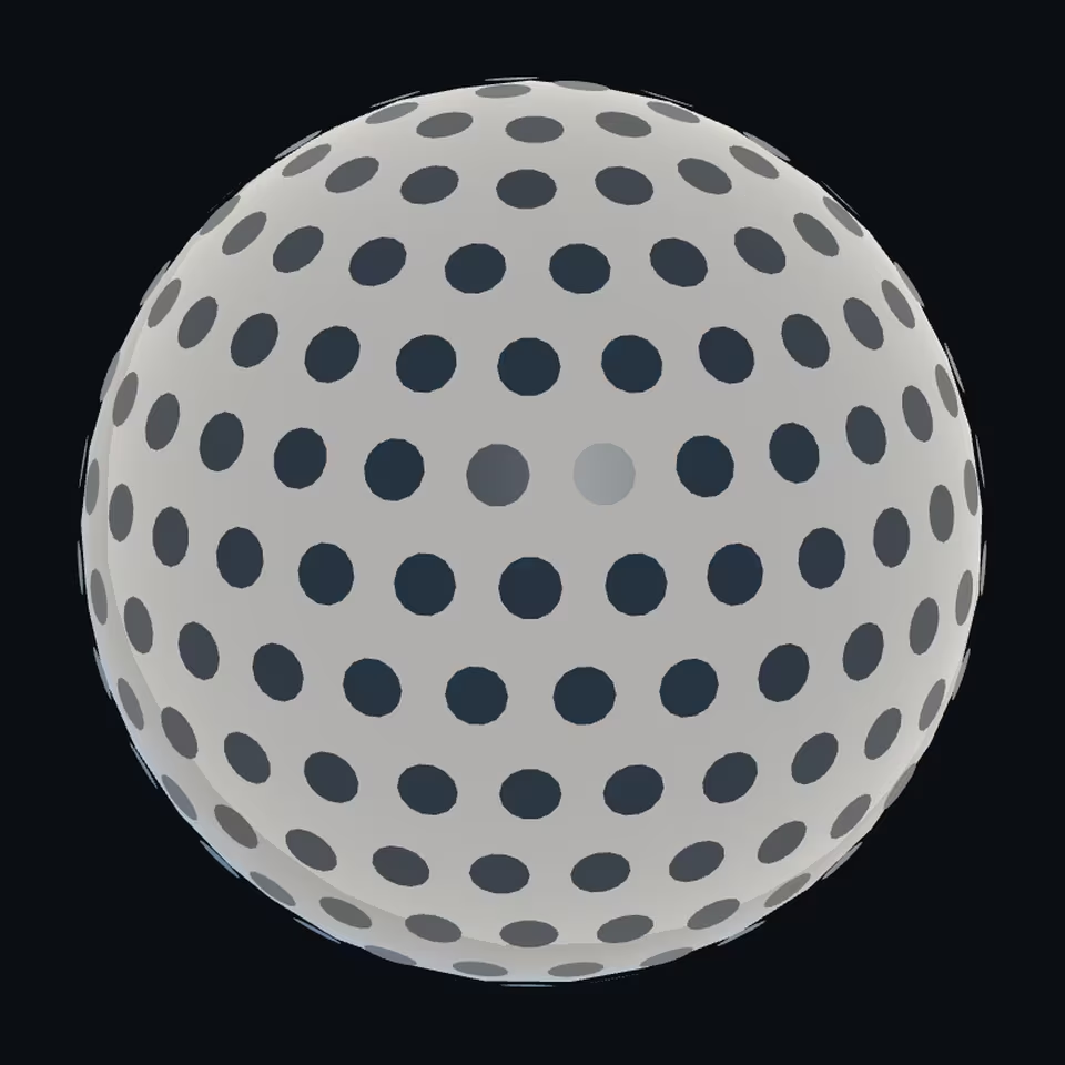
Open the 3D viewer (www.spaceradar.ai).
The viewer loads when you ask: about 700 kB the first time (three.js and the model), much less after.
Pictures 4
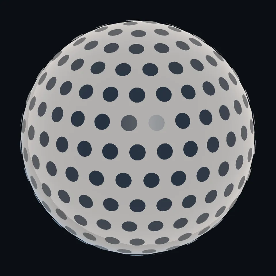 Three-quarter view
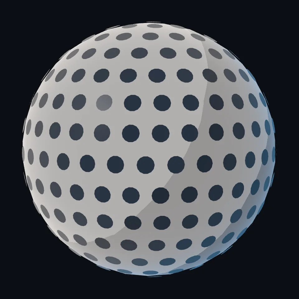 From the side
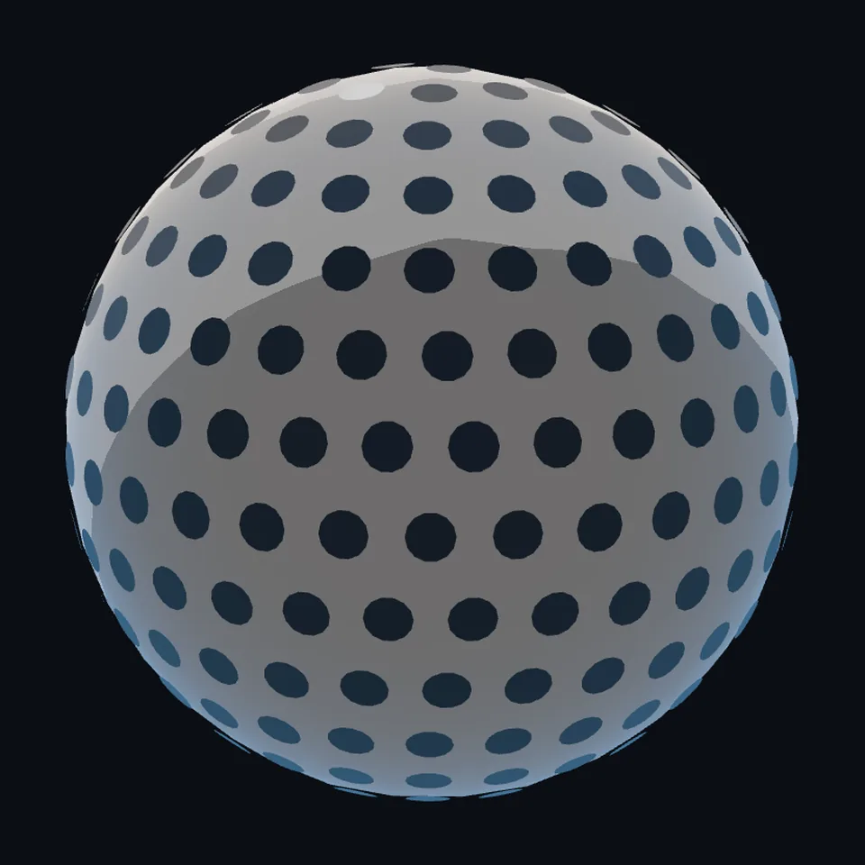 From behind
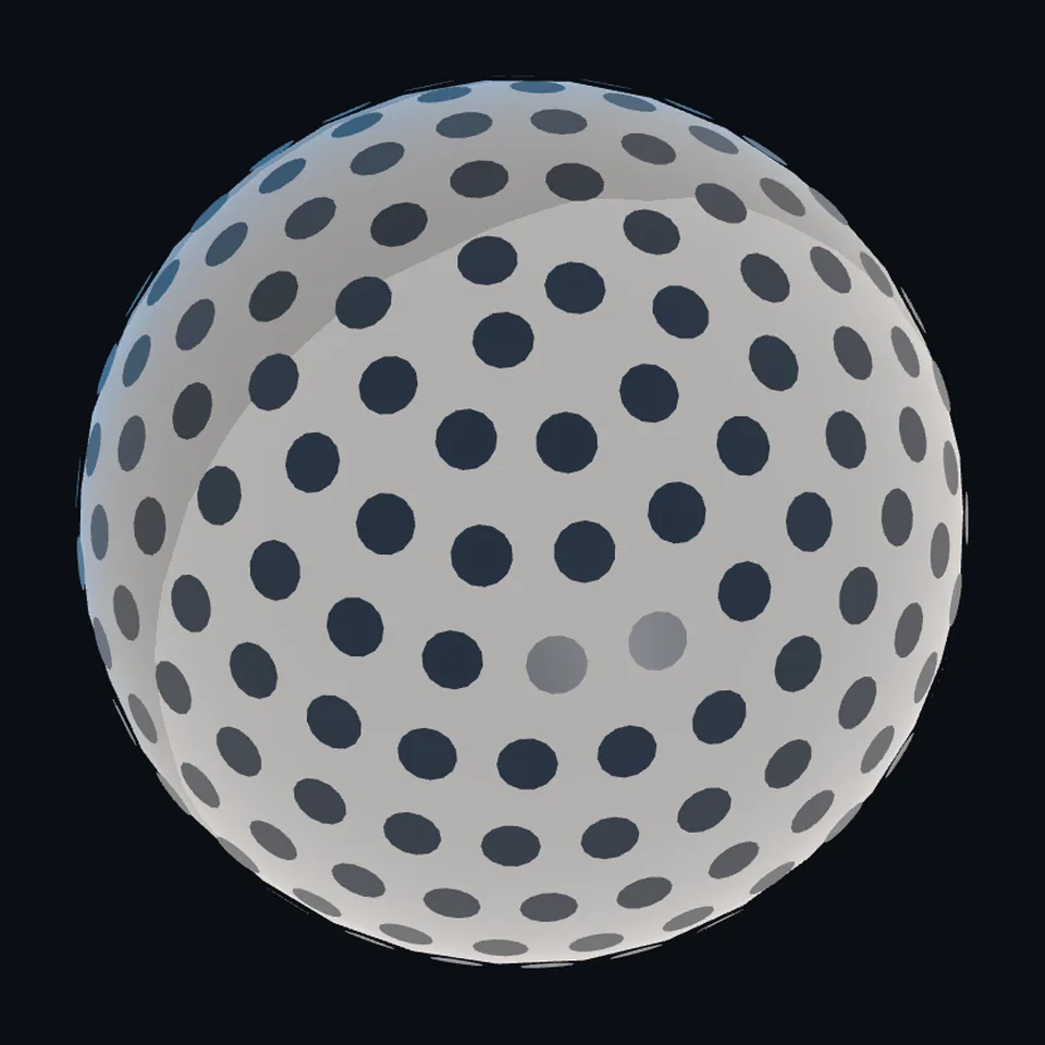 From above
About this model
LARES 2 is one of the 203 3D models Space Radar made itself: a satellite, built in code from published dimensions and photographs, with no image-to-3D generator and no one else’s mesh.
Shape built from published dimensions and pictures; details simplified. It has 5,038 triangles in a 37 kB glTF file, and is 0.4 m across at full scale.
On Space Radar’s live map it is drawn for the object with NORAD catalogue number 53105, where its published orbit puts it now. Open it on the map.
Dimensions and their sources
| Measure | Value |
|---|---|
| Diameter | 0.424 m |
| Cube face diameter | 0.0254 m |
| Retroreflectors | 303 |
International Laser Ranging Service (NASA-hosted), ilrs.gsfc.nasa.gov/missions/satellite_missions/current_missions/…, opened 2026-10-13: 'Satellite Radius: 212 mm'; '303 uncoated cube corner reflectors made from Fused silica Corning 7980. Each cube measures: height=19.05 +/- 0.25 mm, diameter=25.4 mm.' THE PAGE DISAGREES WITH ITSELF: its text also says 'cavities machined on the sphere of diameter 0.212 meters'; the table's radius of 212 mm (424 mm across) is built. THE PLACEMENT IS NOT READ: the coordinates of each cube are published as a scanned table, ilrs.gsfc.nasa.gov/docs/2025/CoordinatesOfLARES_2_CCRs.pdf, which was downloaded and could not be read by machine; the 303 are drawn in fifteen even rings, which is OURS (read 2026-10-13)
How it was made
Built in code from published dimensions and photographs, with no image-to-3D generator and no one else’s mesh. 3D model: built by Space Radar from the published count and size of LARES-2's 303 retroreflectors.
The full record
built by this project in code (the private tool model-from-images: assemble.py, from a yaml of primitives), from the cited dimensions and the pictures under `references`; no image-to-3D model was used, and no published mesh
Where the map uses it. NORAD 53105 (LARES-2). It had no route at all and was drawn as the generic satellite, a box with a dish; while this file is on its way it is the plain ball (scene/models.js `sphere`); batch three of the model backlog
Licence note. No picture ships and none was traced: the only photograph found is not free and was looked at on the page named under `references`; the shape is this project's, under this repository's licence
References 1
What the shape was compared with. None of these pictures is in the file.
- LARES and LARES-2, the ILRS mission pageInternational Laser Ranging Service; photograph no credit line is given for the LARES-2 picture, so it is not relied onThe page's text is NASA-hosted (the International Laser Ranging Service at Goddard); its photograph is NOT FREE: no credit line is given for the LARES-2 picture, so it is not relied on
Use it
The model is under the MIT licence: use it, change it and share it, in any project, also a paid one. Keep the credit:
LARES 2 3D model by Space Radar (spaceradar.ai), MIT LicenseAny glTF 2.0 loader that reads meshopt compression (EXT_meshopt_compression) opens the file: three.js with its MeshoptDecoder, Babylon.js, model-viewer. Tools such as glTF-Transform can write an uncompressed copy.
Or embed the viewer in your page:
<iframe src="https://www.spaceradar.ai/model/?id=lares2" title="LARES 2, 3D model by Space Radar" width="600" height="450" loading="lazy" style="border:0;max-width:100%"></iframe>Related models
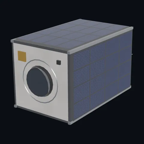
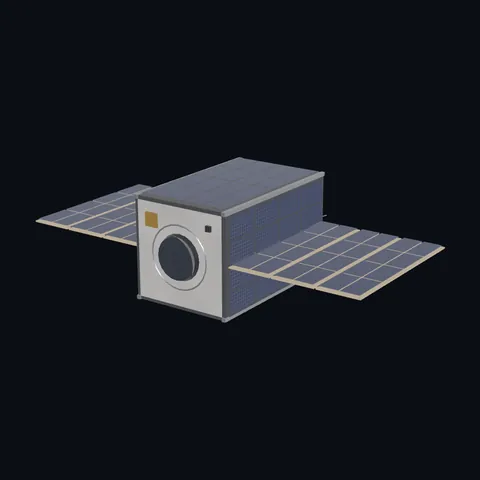
CubeSat 12U with wings
Shape built from published dimensions and pictures; details simplified.