
ISIS 1
Shape built from published dimensions and pictures; details simplified.
Turn it in 3D
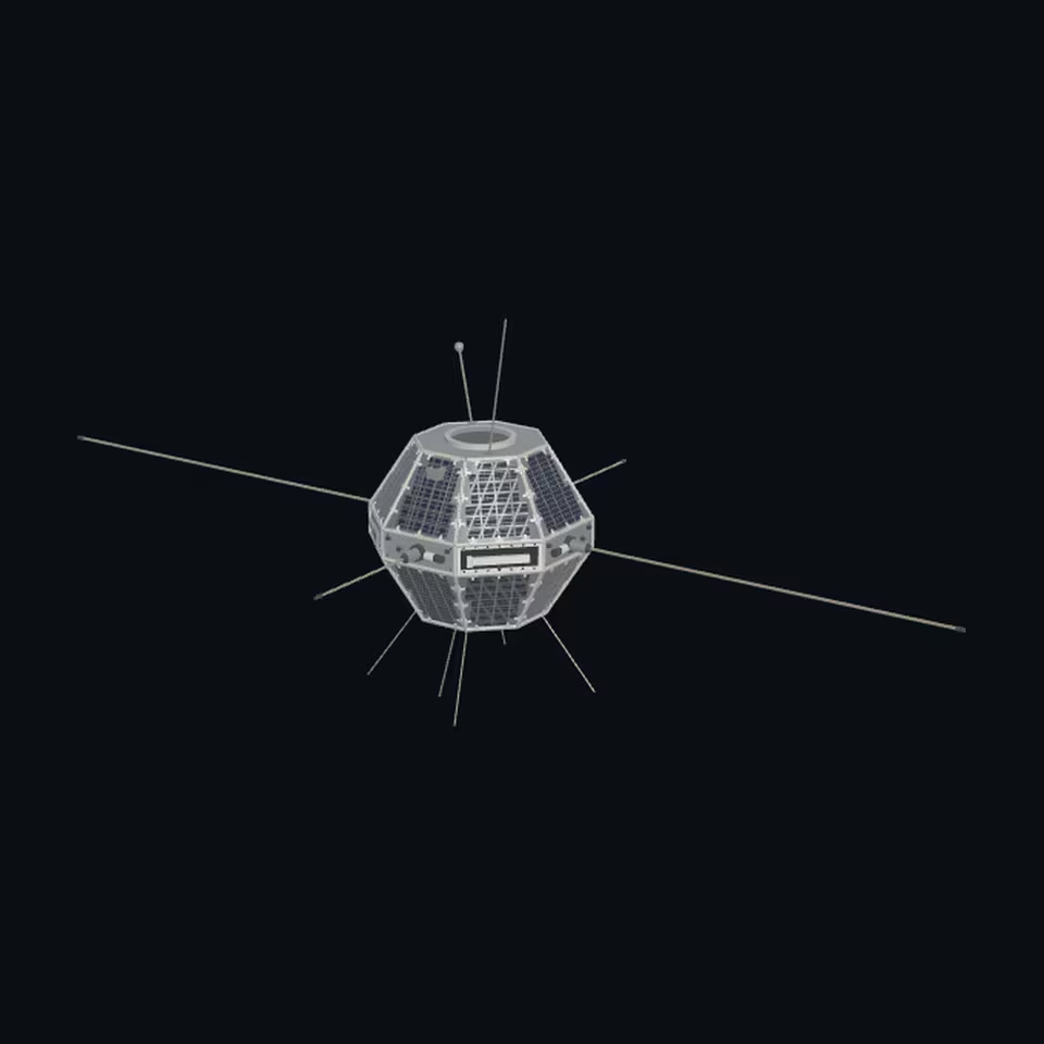
Open the 3D viewer (www.spaceradar.ai).
The viewer loads when you ask: about 700 kB the first time (three.js and the model), much less after.
Pictures 4
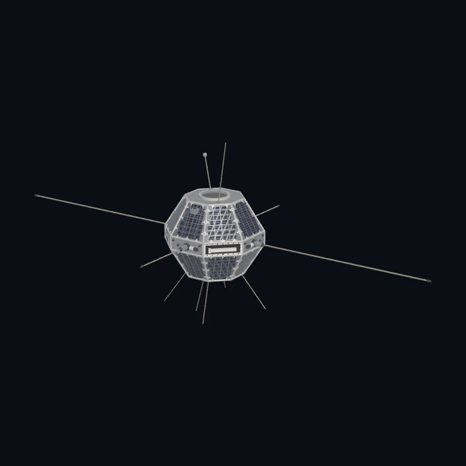 Three-quarter view
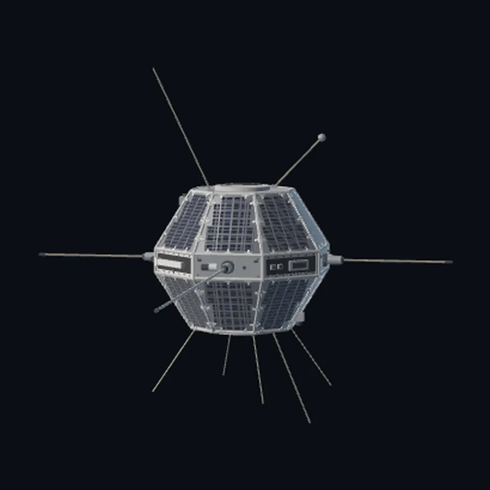 From the side
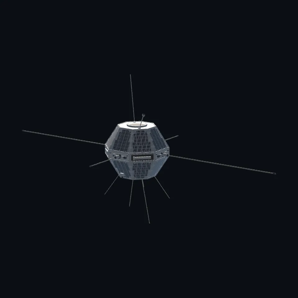 From behind
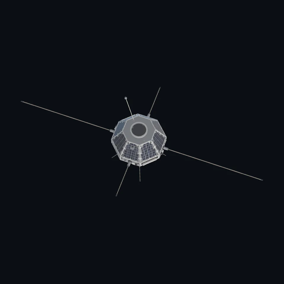 From above
About this model
ISIS 1 is one of the 203 3D models Space Radar made itself: a satellite, built in code from published dimensions and photographs, with no image-to-3D generator and no one else’s mesh.
Shape built from published dimensions and pictures; details simplified. It has 12,694 triangles in a 134 kB glTF file, and is 73 m across at full scale.
On Space Radar’s live map it is drawn for the object with NORAD catalogue number 3669, where its published orbit puts it now. Open it on the map.
Dimensions and their sources
| Measure | Value |
|---|---|
| Diameter | 1.27 m |
| Height | 1.04 m |
| Long dipole | 73 m |
| Short dipole | 18.7 m |
NRC Science Dimension, Dec. 1969, reprinted at ewh.ieee.org/reg/7/millennium/isis/isis_study.html, OPENED 2026-10-20: 'It has a diameter of 50 inches, a height of 41 inches and weighs 525 pounds'; the schematic: 'SOUNDER ANTENNA 240 FT. TIP TO TIP', 'SOUNDER ANTENNA 61.5 FT. TIP TO TIP', 'SOLAR CELL PANELS (16)'. NSSDCA 1969-009A (web.archive.org copy, the live catalogue erred that day): 'The sounder used two dipole antennas (73 and 18.7 m long). The satellite was spin-stabilized at about 2.9 rpm'. THE DIPOLES ARE DRAWN SHORT, illustrative: 6.0 m and 3.0 m tip to tip, because the app scales a model's longest side to one unit and a 73 m dipole would leave the 1.27 m drum a dot. OURS: the belt height (0.17 m), every instrument's size and place, the probes' lengths and angles (read 2026-10-20)
How it was made
Built in code from published dimensions and photographs, with no image-to-3D generator and no one else’s mesh. 3D model: built by Space Radar from NASA's and Canada's published dimensions; compared with NASA's photograph (public domain).
The full record
built by this project in code (release 1.3.0 stage W3-a's part library, lib.py, and one script a craft, kept with the stage's notes); no image-to-3D model was used, and no published mesh: NASA's 3D Resources (1 583 paths) and NASA Science's 3D models have none of this craft (read 2026-10-20)
Where the map uses it. NORAD 3669 (ISIS 1), by id; public #1110. It spun: not turned (the seeded constant attitude); the spin axis is the file's +Y
Licence note. The shape is this project's, under this repository's licence, built from published numbers (facts). The picture it was compared with and may show is NSSDCA's photograph of the flight craft (NASA, public domain); the Canadian Space Agency's and the National Research Council's pictures were looked at only and are in nothing.
References 4
What the shape was compared with. None of these pictures is in the file.
- ISIS 1 (NSSDCA spacecraft image)NASAPublic domain (NASA NSSDCA)
- ISIS 2 experimenters report, NASA 19810015208NASAPublic domain (NASA report)
- NRC Science Dimension, December 1969 (reprinted by IEEE Canada)National Research Council CanadaCrown copyright (NRC); looked at only
- Canadian Space Agency, ISIS I and IICanadian Space Agency / Communications Research CentreGovernment of Canada; looked at only

Use it
The model is under the MIT licence: use it, change it and share it, in any project, also a paid one. Keep the credit:
ISIS 1 3D model by Space Radar (spaceradar.ai), MIT LicenseAny glTF 2.0 loader that reads meshopt compression (EXT_meshopt_compression) opens the file: three.js with its MeshoptDecoder, Babylon.js, model-viewer. Tools such as glTF-Transform can write an uncompressed copy.
Or embed the viewer in your page:
<iframe src="https://www.spaceradar.ai/model/?id=isis-1" title="ISIS 1, 3D model by Space Radar" width="600" height="450" loading="lazy" style="border:0;max-width:100%"></iframe>Related models
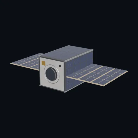
CubeSat 12U with wings
Shape built from published dimensions and pictures; details simplified.